Distance from Caruaru to Ipojuca
Distance between Caruaru and Ipojuca is 101 kilometers (63 miles).
Driving distance from Caruaru to Ipojuca is 154 kilometers (96 miles).
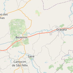
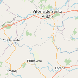
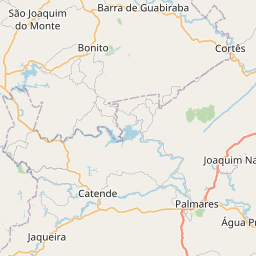
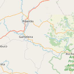
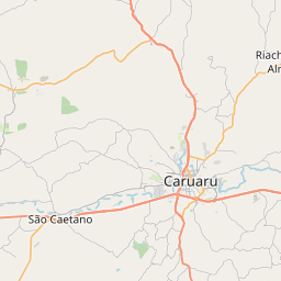
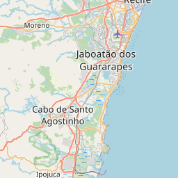
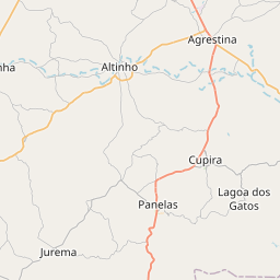
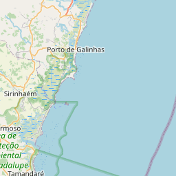
Distance Map Between Caruaru and Ipojuca
Caruaru, Recife, Brazil ↔ Ipojuca, Recife, Brazil = 63 miles = 101 km.

How far is it between Caruaru and Ipojuca
Caruaru is located in Brazil with (-8.2833,-35.9761) coordinates and Ipojuca is located in Brazil with (-8.3989,-35.0639) coordinates. The calculated flying distance from Caruaru to Ipojuca is equal to 63 miles which is equal to 101 km.
If you want to go by car, the driving distance between Caruaru and Ipojuca is 154.15 km. If you ride your car with an average speed of 112 kilometers/hour (70 miles/h), travel time will be 01 hours 22 minutes. Please check the avg. speed travel time table on the right for various options.
Difference between fly and go by a car is 53 km.
| City/Place | Latitude and Longitude | GPS Coordinates |
|---|---|---|
| Caruaru | -8.2833, -35.9761 | 8° 16´ 59.9880'' S 35° 58´ 33.9960'' W |
| Ipojuca | -8.3989, -35.0639 | 8° 23´ 56.0040'' S 35° 3´ 50.0040'' W |
Estimated Travel Time Between Caruaru and Ipojuca
| Average Speed | Travel Time |
|---|---|
| 30 mph (48 km/h) | 03 hours 12 minutes |
| 40 mph (64 km/h) | 02 hours 24 minutes |
| 50 mph (80 km/h) | 01 hours 55 minutes |
| 60 mph (97 km/h) | 01 hours 35 minutes |
| 70 mph (112 km/h) | 01 hours 22 minutes |
| 75 mph (120 km/h) | 01 hours 17 minutes |
Related Distances from Caruaru
| Cities | Distance |
|---|---|
| Caruaru to Paulista | 150 km |
| Caruaru to Vitoria De Santo Antao | 90 km |
| Caruaru to Cha Grande | 69 km |
| Caruaru to Garanhuns | 101 km |
| Caruaru to Santa Cruz Do Capibaribe | 56 km |
Related Distances to Ipojuca
| Cities | Distance |
|---|---|
| Araripina to Ipojuca | 702 km |
| Cha Grande to Ipojuca | 84 km |
| Afogados Da Ingazeira to Ipojuca | 399 km |
| Gameleira to Ipojuca | 60 km |
| Agua Preta to Ipojuca | 93 km |