Distance from Castro to Cordoba
Distance between Castro and Cordoba is 1571 kilometers (976 miles).
Driving distance from Castro to Cordoba is 1931 kilometers (1200 miles).
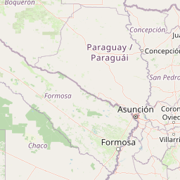
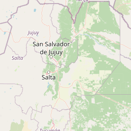
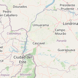
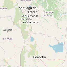
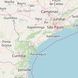
Distance Map Between Castro and Cordoba
Castro, Curitiba, Brazil ↔ Cordoba, Argentina = 976 miles = 1571 km.


How far is it between Castro and Córdoba
Castro is located in Brazil with (-24.7893,-50.0123) coordinates and Cordoba is located in Argentina with (-31.4135,-64.1811) coordinates. The calculated flying distance from Castro to Cordoba is equal to 976 miles which is equal to 1571 km.
If you want to go by car, the driving distance between Castro and Cordoba is 1930.84 km. If you ride your car with an average speed of 112 kilometers/hour (70 miles/h), travel time will be 17 hours 14 minutes. Please check the avg. speed travel time table on the right for various options.
Difference between fly and go by a car is 360 km.
| City/Place | Latitude and Longitude | GPS Coordinates |
|---|---|---|
| Castro | -24.7893, -50.0123 | 24° 47´ 21.3720'' S 50° 0´ 44.1000'' W |
| Cordoba | -31.4135, -64.1811 | 31° 24´ 48.6000'' S 64° 10´ 51.7800'' W |
Estimated Travel Time Between Castro and Córdoba
| Average Speed | Travel Time |
|---|---|
| 30 mph (48 km/h) | 40 hours 13 minutes |
| 40 mph (64 km/h) | 30 hours 10 minutes |
| 50 mph (80 km/h) | 24 hours 08 minutes |
| 60 mph (97 km/h) | 19 hours 54 minutes |
| 70 mph (112 km/h) | 17 hours 14 minutes |
| 75 mph (120 km/h) | 16 hours 05 minutes |
Related Distances from Castro
| Cities | Distance |
|---|---|
| Castro to Mendoza | 2483 km |
| Castro to Posadas | 827 km |
| Castro to Buenos Aires | 1803 km |
| Castro to San Juan | 2554 km |
| Castro to Quilmes | 1825 km |
Related Distances to Cordoba
| Cities | Distance |
|---|---|
| Toledo 3 to Cordoba | 1569 km |
| Sao Paulo to Cordoba | 2355 km |
| Londrina to Cordoba | 1925 km |
| Rio Negro to Cordoba | 1836 km |
| Porto Alegre to Cordoba | 1435 km |