Distance from Cayenne to Koeln
Distance between Cayenne and Koeln is 408 kilometers (254 miles).
Driving distance from Cayenne to Koeln is 481 kilometers (299 miles).
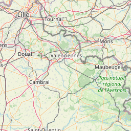
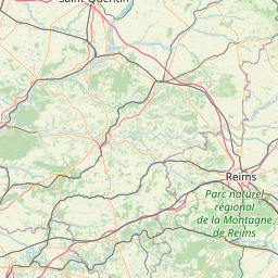
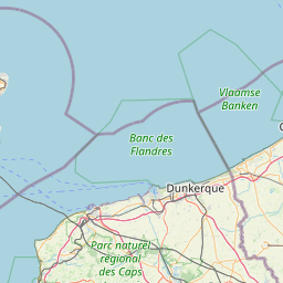
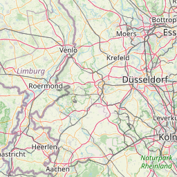
Distance Map Between Cayenne and Koeln
Cayenne, Rouen, France ↔ Koeln, Dusseldorf, Germany = 254 miles = 408 km.

How far is it between Cayenne and Köln
Cayenne is located in France with (49.5586,1.628) coordinates and Koeln is located in Germany with (50.9333,6.95) coordinates. The calculated flying distance from Cayenne to Koeln is equal to 254 miles which is equal to 408 km.
If you want to go by car, the driving distance between Cayenne and Koeln is 480.54 km. If you ride your car with an average speed of 112 kilometers/hour (70 miles/h), travel time will be 04 hours 17 minutes. Please check the avg. speed travel time table on the right for various options.
Difference between fly and go by a car is 73 km.
| City/Place | Latitude and Longitude | GPS Coordinates |
|---|---|---|
| Cayenne | 49.5586, 1.628 | 49° 33´ 30.8880'' N 1° 37´ 40.9080'' E |
| Koeln | 50.9333, 6.95 | 50° 55´ 59.9880'' N 6° 57´ 0.0000'' E |
Estimated Travel Time Between Cayenne and Köln
| Average Speed | Travel Time |
|---|---|
| 30 mph (48 km/h) | 10 hours 00 minutes |
| 40 mph (64 km/h) | 07 hours 30 minutes |
| 50 mph (80 km/h) | 06 hours 00 minutes |
| 60 mph (97 km/h) | 04 hours 57 minutes |
| 70 mph (112 km/h) | 04 hours 17 minutes |
| 75 mph (120 km/h) | 04 hours 00 minutes |
Related Distances from Cayenne
| Cities | Distance |
|---|---|
| Cayenne 2 to Berlin | 1049 km |
| Cayenne 2 to Munich | 943 km |
| Cayenne 2 to Hamburg | 905 km |
| Cayenne 2 to Koeln | 481 km |
Related Distances to Koeln
| Cities | Distance |
|---|---|
| Paris to Koeln | 490 km |
| Calais to Koeln | 408 km |
| Saint Etienne Du Rouvray to Koeln | 527 km |
| Lille to Koeln | 320 km |
| Amiens to Koeln | 405 km |