Distance from Celaya to Silao
Distance between Celaya and Silao is 79 kilometers (49 miles).
Driving distance from Celaya to Silao is 94 kilometers (59 miles).
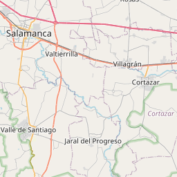
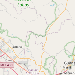
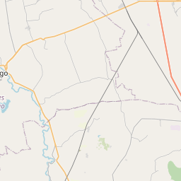
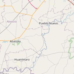
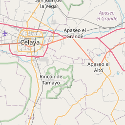
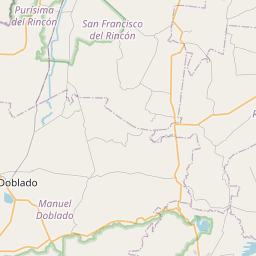
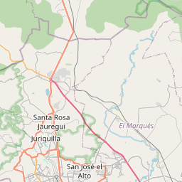
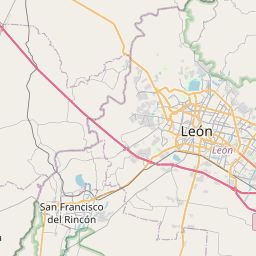
Distance Map Between Celaya and Silao
Celaya, Guanajuato, Mexico ↔ Silao, Guanajuato, Mexico = 49 miles = 79 km.

How far is it between Celaya and Silao
Celaya is located in Mexico with (20.5235,-100.8157) coordinates and Silao is located in Mexico with (20.9436,-101.427) coordinates. The calculated flying distance from Celaya to Silao is equal to 49 miles which is equal to 79 km.
If you want to go by car, the driving distance between Celaya and Silao is 94.21 km. If you ride your car with an average speed of 112 kilometers/hour (70 miles/h), travel time will be 00 hours 50 minutes. Please check the avg. speed travel time table on the right for various options.
Difference between fly and go by a car is 15 km.
| City/Place | Latitude and Longitude | GPS Coordinates |
|---|---|---|
| Celaya | 20.5235, -100.8157 | 20° 31´ 24.7080'' N 100° 48´ 56.5200'' W |
| Silao | 20.9436, -101.427 | 20° 56´ 36.8160'' N 101° 25´ 37.3080'' W |
Estimated Travel Time Between Celaya and Silao
| Average Speed | Travel Time |
|---|---|
| 30 mph (48 km/h) | 01 hours 57 minutes |
| 40 mph (64 km/h) | 01 hours 28 minutes |
| 50 mph (80 km/h) | 01 hours 10 minutes |
| 60 mph (97 km/h) | 00 hours 58 minutes |
| 70 mph (112 km/h) | 00 hours 50 minutes |
| 75 mph (120 km/h) | 00 hours 47 minutes |
Related Distances from Celaya
| Cities | Distance |
|---|---|
| Celaya to Leon | 127 km |
| Celaya to San Miguel De Allende | 51 km |
| Celaya to Salamanca 3 | 41 km |
| Celaya to Irapuato | 67 km |
| Celaya to Silao | 94 km |
Related Distances to Silao
| Cities | Distance |
|---|---|
| Leon to Silao | 38 km |
| San Miguel De Allende to Silao | 87 km |
| Apaseo El Grande to Silao | 105 km |
| Celaya to Silao | 94 km |
| Irapuato to Silao | 38 km |