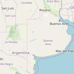
Distance from Chacabuco to Azul
Distance between Chacabuco and Azul is 244 kilometers (152 miles).
Distance Map Between Chacabuco and Azul
Chacabuco, La Plata, Argentina ↔ Azul, La Plata, Argentina = 152 miles = 244 km.


Leaflet | © OpenStreetMap
How far is it between Chacabuco and Azul
Chacabuco is located in Argentina with (-34.6417,-60.4739) coordinates and Azul is located in Argentina with (-36.777,-59.8585) coordinates. The calculated flying distance from Chacabuco to Azul is equal to 152 miles which is equal to 244 km.
| City/Place | Latitude and Longitude | GPS Coordinates |
|---|---|---|
| Chacabuco | -34.6417, -60.4739 | 34° 38´ 30.0120'' S 60° 28´ 26.0040'' W |
| Azul | -36.777, -59.8585 | 36° 46´ 37.1280'' S 59° 51´ 30.7440'' W |
Chacabuco, La Plata, Argentina
Related Distances from Chacabuco
| Cities | Distance |
|---|---|
| Chacabuco to Mercedes | 118 km |
| Chacabuco to Dolores | 370 km |
| Chacabuco to Tandil | 386 km |
| Chacabuco to Pontevedra 2 | 195 km |
| Chacabuco to Mar Del Plata | 535 km |
Azul, La Plata, Argentina
Related Distances to Azul
| Cities | Distance |
|---|---|
| Bahia Blanca to Azul | 334 km |
| San Nicolas De Los Arroyos to Azul | 430 km |
| Olavarria to Azul | 52 km |
| Tres Arroyos to Azul | 199 km |
| Veinticinco De Mayo to Azul | 176 km |