Distance from Chambly to Amos
Distance between Chambly and Amos is 504 kilometers (313 miles).
Driving distance from Chambly to Amos is 620 kilometers (385 miles).
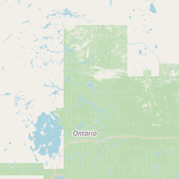
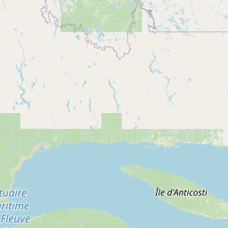
Distance Map Between Chambly and Amos
Chambly, Quebec, Canada ↔ Amos, Quebec, Canada = 313 miles = 504 km.


How far is it between Chambly and Amos
Chambly is located in Canada with (45.4501,-73.2825) coordinates and Amos is located in Canada with (48.5669,-78.1162) coordinates. The calculated flying distance from Chambly to Amos is equal to 313 miles which is equal to 504 km.
If you want to go by car, the driving distance between Chambly and Amos is 619.89 km. If you ride your car with an average speed of 112 kilometers/hour (70 miles/h), travel time will be 05 hours 32 minutes. Please check the avg. speed travel time table on the right for various options.
Difference between fly and go by a car is 116 km.
| City/Place | Latitude and Longitude | GPS Coordinates |
|---|---|---|
| Chambly | 45.4501, -73.2825 | 45° 27´ 0.2880'' N 73° 16´ 56.8560'' W |
| Amos | 48.5669, -78.1162 | 48° 34´ 0.7680'' N 78° 6´ 58.4640'' W |
Estimated Travel Time Between Chambly and Amos
| Average Speed | Travel Time |
|---|---|
| 30 mph (48 km/h) | 12 hours 54 minutes |
| 40 mph (64 km/h) | 09 hours 41 minutes |
| 50 mph (80 km/h) | 07 hours 44 minutes |
| 60 mph (97 km/h) | 06 hours 23 minutes |
| 70 mph (112 km/h) | 05 hours 32 minutes |
| 75 mph (120 km/h) | 05 hours 09 minutes |
Related Distances from Chambly
| Cities | Distance |
|---|---|
| Chambly to Brossard | 22 km |
| Chambly to Boucherville | 27 km |
| Chambly to Blainville | 68 km |
| Chambly to Alma | 462 km |
| Chambly to Candiac | 26 km |
Related Distances to Amos
| Cities | Distance |
|---|---|
| Montreal to Amos | 587 km |
| Val D Or to Amos | 70 km |
| Rouyn Noranda to Amos | 105 km |
| Gatineau to Amos | 485 km |
| Laval to Amos | 575 km |