Distance from Cheboksary to Pskov
Distance between Cheboksary and Pskov is 1157 kilometers (719 miles).
Driving distance from Cheboksary to Pskov is 1404 kilometers (872 miles).
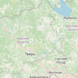
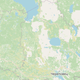
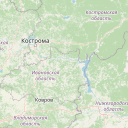
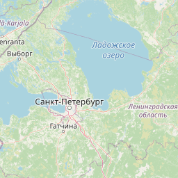
Distance Map Between Cheboksary and Pskov
Cheboksary, Russia ↔ Pskov, Russia = 719 miles = 1157 km.


How far is it between Cheboksary and Pskov
Cheboksary is located in Russia with (56.1322,47.2519) coordinates and Pskov is located in Russia with (57.8136,28.3496) coordinates. The calculated flying distance from Cheboksary to Pskov is equal to 719 miles which is equal to 1157 km.
If you want to go by car, the driving distance between Cheboksary and Pskov is 1403.66 km. If you ride your car with an average speed of 112 kilometers/hour (70 miles/h), travel time will be 12 hours 31 minutes. Please check the avg. speed travel time table on the right for various options.
Difference between fly and go by a car is 247 km.
| City/Place | Latitude and Longitude | GPS Coordinates |
|---|---|---|
| Cheboksary | 56.1322, 47.2519 | 56° 7´ 55.9920'' N 47° 15´ 6.9840'' E |
| Pskov | 57.8136, 28.3496 | 57° 48´ 48.9600'' N 28° 20´ 58.5600'' E |
Estimated Travel Time Between Cheboksary and Pskov
| Average Speed | Travel Time |
|---|---|
| 30 mph (48 km/h) | 29 hours 14 minutes |
| 40 mph (64 km/h) | 21 hours 55 minutes |
| 50 mph (80 km/h) | 17 hours 32 minutes |
| 60 mph (97 km/h) | 14 hours 28 minutes |
| 70 mph (112 km/h) | 12 hours 31 minutes |
| 75 mph (120 km/h) | 11 hours 41 minutes |
Related Distances from Cheboksary
| Cities | Distance |
|---|---|
| Cheboksary to Moscow | 658 km |
| Cheboksary to Kazan | 159 km |
| Cheboksary to Yoshkar Ola | 94 km |
| Cheboksary to Saint Petersburg | 1373 km |
| Cheboksary to Samara | 478 km |
Related Distances to Pskov
| Cities | Distance |
|---|---|
| Moscow to Pskov | 739 km |
| Velikiy Novgorod to Pskov | 211 km |
| Vladivostok to Pskov | 9719 km |
| Kaliningrad to Pskov | 665 km |
| Kemerovo to Pskov | 4343 km |