Distance from Chia to Ubate
Distance between Chia and Ubate is 57 kilometers (35 miles).
Driving distance from Chia to Ubate is 64 kilometers (40 miles).
Distance Map Between Chia and Ubate
Chia, , Colombia ↔ Ubate, , Colombia = 35 miles = 57 km.
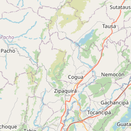

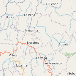
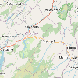
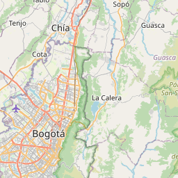


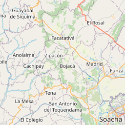


Leaflet | © OpenStreetMap
How far is it between Chía and Ubaté
Chia is located in Colombia with (4.8588,-74.0587) coordinates and Ubate is located in Colombia with (5.3093,-73.8158) coordinates. The calculated flying distance from Chia to Ubate is equal to 35 miles which is equal to 57 km.
If you want to go by car, the driving distance between Chia and Ubate is 64.41 km. If you ride your car with an average speed of 112 kilometers/hour (70 miles/h), travel time will be 00 hours 34 minutes. Please check the avg. speed travel time table on the right for various options.
Difference between fly and go by a car is 7 km.
| City/Place | Latitude and Longitude | GPS Coordinates |
|---|---|---|
| Chia | 4.8588, -74.0587 | 4° 51´ 31.5360'' N 74° 3´ 31.1760'' W |
| Ubate | 5.3093, -73.8158 | 5° 18´ 33.5880'' N 73° 48´ 56.7000'' W |
Estimated Travel Time Between Chía and Ubaté
| Average Speed | Travel Time |
|---|---|
| 30 mph (48 km/h) | 01 hours 20 minutes |
| 40 mph (64 km/h) | 01 hours 00 minutes |
| 50 mph (80 km/h) | 00 hours 48 minutes |
| 60 mph (97 km/h) | 00 hours 39 minutes |
| 70 mph (112 km/h) | 00 hours 34 minutes |
| 75 mph (120 km/h) | 00 hours 32 minutes |
Chia, , Colombia
Related Distances from Chia
| Cities | Distance |
|---|---|
| Chia to Zipaquira | 23 km |
| Chia to Soacha | 48 km |
| Chia to Sibate | 63 km |
| Chia to La Mesa 2 | 72 km |
| Chia to Girardot City | 162 km |
Ubate, , Colombia
Related Distances to Ubate
| Cities | Distance |
|---|---|
| Chia to Ubate | 64 km |
| Facatativa to Ubate | 105 km |
| Cajica to Ubate | 54 km |
| Sibate to Ubate | 122 km |
| Girardot City to Ubate | 223 km |