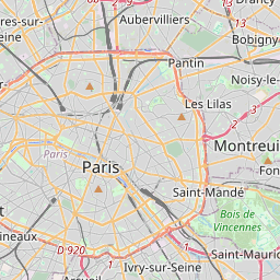
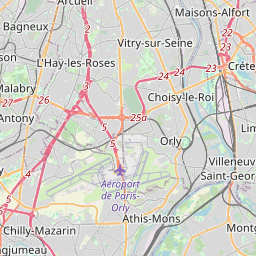
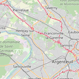
Distance from Choisy-le-Roi to Colombes
Distance between Choisy-le-Roi and Colombes is 21 kilometers (13 miles).
Driving distance from Choisy-le-Roi to Colombes is 41 kilometers (26 miles).
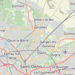
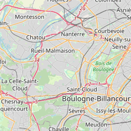
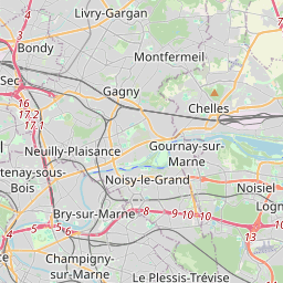
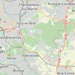
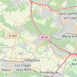
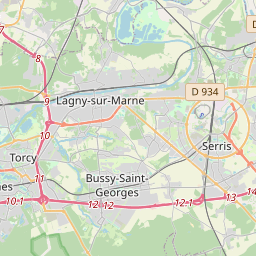
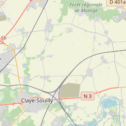
Distance Map Between Choisy-le-Roi and Colombes
Choisy-le-Roi, Paris, France ↔ Colombes, Paris, France = 13 miles = 21 km.


How far is it between Choisy-le-Roi and Colombes
Choisy-le-Roi is located in France with (48.7685,2.4187) coordinates and Colombes is located in France with (48.9188,2.254) coordinates. The calculated flying distance from Choisy-le-Roi to Colombes is equal to 13 miles which is equal to 21 km.
If you want to go by car, the driving distance between Choisy-le-Roi and Colombes is 41.46 km. If you ride your car with an average speed of 112 kilometers/hour (70 miles/h), travel time will be 00 hours 22 minutes. Please check the avg. speed travel time table on the right for various options.
Difference between fly and go by a car is 20 km.
| City/Place | Latitude and Longitude | GPS Coordinates |
|---|---|---|
| Choisy-le-Roi | 48.7685, 2.4187 | 48° 46´ 6.4560'' N 2° 25´ 7.4640'' E |
| Colombes | 48.9188, 2.254 | 48° 55´ 7.7520'' N 2° 15´ 14.5440'' E |
Estimated Travel Time Between Choisy-le-Roi and Colombes
| Average Speed | Travel Time |
|---|---|
| 30 mph (48 km/h) | 00 hours 51 minutes |
| 40 mph (64 km/h) | 00 hours 38 minutes |
| 50 mph (80 km/h) | 00 hours 31 minutes |
| 60 mph (97 km/h) | 00 hours 25 minutes |
| 70 mph (112 km/h) | 00 hours 22 minutes |
| 75 mph (120 km/h) | 00 hours 20 minutes |
Related Distances from Choisy-le-Roi
| Cities | Distance |
|---|---|
| Choisy Le Roi to Neuilly Sur Seine | 26 km |
| Choisy Le Roi to Villeparisis | 42 km |
| Choisy Le Roi to Montreuil | 23 km |
| Choisy Le Roi to Saint Cloud 3 | 33 km |
| Choisy Le Roi to Vitry Sur Seine | 4 km |
Related Distances to Colombes
| Cities | Distance |
|---|---|
| Argenteuil to Colombes | 4 km |
| Bagneux to Colombes | 21 km |
| Bezons to Colombes | 5 km |
| Antony to Colombes | 27 km |
| Les Ulis to Colombes | 34 km |