Distance from Chor to Kambar
Distance between Chor and Kambar is 290 kilometers (180 miles).
Driving distance from Chor to Kambar is 464 kilometers (288 miles).
Distance Map Between Chor and Kambar
Chor, Karachi, Pakistan ↔ Kambar, Karachi, Pakistan = 180 miles = 290 km.


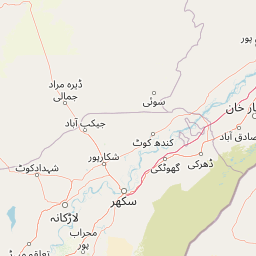


How far is it between Chor and Kambar
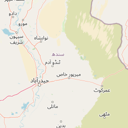
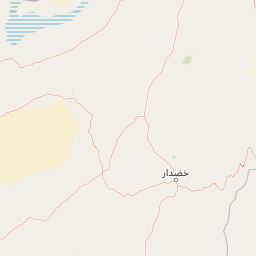
Chor is located in Pakistan with (25.5167,69.7667) coordinates and Kambar is located in Pakistan with (27.5868,68.001) coordinates. The calculated flying distance from Chor to Kambar is equal to 180 miles which is equal to 290 km.
If you want to go by car, the driving distance between Chor and Kambar is 464.28 km. If you ride your car with an average speed of 112 kilometers/hour (70 miles/h), travel time will be 04 hours 08 minutes. Please check the avg. speed travel time table on the right for various options.
Difference between fly and go by a car is 174 km.
| City/Place | Latitude and Longitude | GPS Coordinates |
|---|---|---|
| Chor | 25.5167, 69.7667 | 25° 31´ 0.0120'' N 69° 46´ 0.0120'' E |
| Kambar | 27.5868, 68.001 | 27° 35´ 12.3360'' N 68° 0´ 3.7080'' E |
Estimated Travel Time Between Chor and Kambar
| Average Speed | Travel Time |
|---|---|
| 30 mph (48 km/h) | 09 hours 40 minutes |
| 40 mph (64 km/h) | 07 hours 15 minutes |
| 50 mph (80 km/h) | 05 hours 48 minutes |
| 60 mph (97 km/h) | 04 hours 47 minutes |
| 70 mph (112 km/h) | 04 hours 08 minutes |
| 75 mph (120 km/h) | 03 hours 52 minutes |
Related Distances from Chor
| Cities | Distance |
|---|---|
| Chor to Hyderabad 2 | 161 km |
| Chor to Umarkot | 20 km |
| Chor to Chuhar Jamali | 275 km |
| Chor to Mirpur Khas | 92 km |
| Chor to Pano Aqil | 463 km |
Related Distances to Kambar
| Cities | Distance |
|---|---|
| Larkana to Kambar | 23 km |
| Dadu to Kambar | 113 km |
| Hyderabad 2 to Kambar | 299 km |
| Naushahro Firoz to Kambar | 160 km |
| Mehar to Kambar | 51 km |