Distance from Coconut Creek to Alvaro Obregon
Distance between Coconut Creek and Alvaro Obregon is 2092 kilometers (1300 miles).
Distance Map Between Coconut Creek and Alvaro Obregon
Coconut Creek, Tallahassee, United States ↔ Alvaro Obregon, Mexico City, Mexico = 1300 miles = 2092 km.


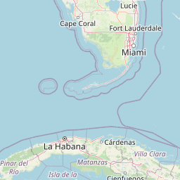


Leaflet | © OpenStreetMap
How far is it between Coconut Creek and Álvaro Obregón
Coconut Creek is located in United States with (26.2518,-80.1789) coordinates and Alvaro Obregon is located in Mexico with (19.3587,-99.2033) coordinates. The calculated flying distance from Coconut Creek to Alvaro Obregon is equal to 1300 miles which is equal to 2092 km.
| City/Place | Latitude and Longitude | GPS Coordinates |
|---|---|---|
| Coconut Creek | 26.2518, -80.1789 | 26° 15´ 6.3000'' N 80° 10´ 44.1840'' W |
| Alvaro Obregon | 19.3587, -99.2033 | 19° 21´ 31.2120'' N 99° 12´ 11.8440'' W |
Coconut Creek, Tallahassee, United States
Related Distances from Coconut Creek
| Cities | Distance |
|---|---|
| Coconut Creek to Mexico City | 3466 km |
| Coconut Creek to Gustavo A Madero 2 | 2849 km |
| Coconut Creek to Naucalpan De Juarez | 3445 km |
| Coconut Creek to Puebla | 3582 km |
| Coconut Creek to Tlalnepantla | 3438 km |
Alvaro Obregon, Mexico City, Mexico
Related Distances to Alvaro Obregon
| Cities | Distance |
|---|---|
| Phoenix to Alvaro Obregon | 2358 km |
| Channelview to Alvaro Obregon | 1631 km |
| Austin to Alvaro Obregon | 1505 km |
| Atlanta to Alvaro Obregon | 2879 km |
| Weslaco to Alvaro Obregon | 1084 km |