Distance from Conakry to Oume
Distance between Conakry and Oume is 975 kilometers (606 miles).
Driving distance from Conakry to Oume is 1400 kilometers (870 miles).
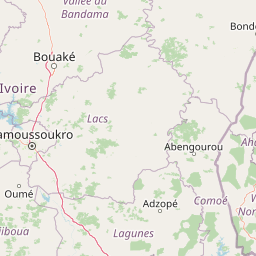
Distance Map Between Conakry and Oume
Conakry, Guinea ↔ Oume, Gagnoa, Ivory Coast = 606 miles = 975 km.
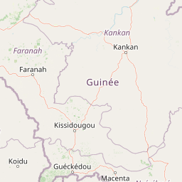
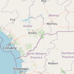
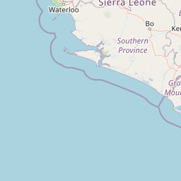
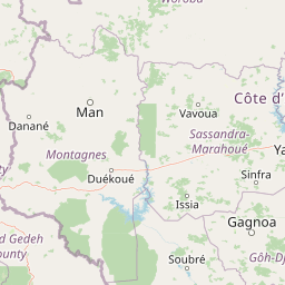
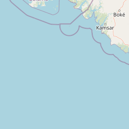
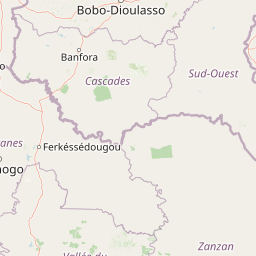


How far is it between Conakry and Oumé
Conakry is located in Guinea with (9.538,-13.6773) coordinates and Oume is located in Ivory Coast with (6.3831,-5.4176) coordinates. The calculated flying distance from Conakry to Oume is equal to 606 miles which is equal to 975 km.
If you want to go by car, the driving distance between Conakry and Oume is 1400.33 km. If you ride your car with an average speed of 112 kilometers/hour (70 miles/h), travel time will be 12 hours 30 minutes. Please check the avg. speed travel time table on the right for various options.
Difference between fly and go by a car is 425 km.
| City/Place | Latitude and Longitude | GPS Coordinates |
|---|---|---|
| Conakry | 9.538, -13.6773 | 9° 32´ 16.6200'' N 13° 40´ 38.2440'' W |
| Oume | 6.3831, -5.4176 | 6° 22´ 59.1240'' N 5° 25´ 3.3240'' W |
Estimated Travel Time Between Conakry and Oumé
| Average Speed | Travel Time |
|---|---|
| 30 mph (48 km/h) | 29 hours 10 minutes |
| 40 mph (64 km/h) | 21 hours 52 minutes |
| 50 mph (80 km/h) | 17 hours 30 minutes |
| 60 mph (97 km/h) | 14 hours 26 minutes |
| 70 mph (112 km/h) | 12 hours 30 minutes |
| 75 mph (120 km/h) | 11 hours 40 minutes |
Related Distances from Conakry
| Cities | Distance |
|---|---|
| Conakry to Abidjan | 1587 km |
| Conakry to Touba 2 | 1107 km |
| Conakry to Danane | 982 km |
| Conakry to Man | 1058 km |
| Conakry to San Pedro 2 | 1443 km |
Related Distances to Oume
| Cities | Distance |
|---|---|
| Camayenne to Oume | 1384 km |
| Conakry to Oume | 1400 km |