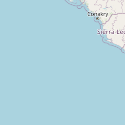
Distance from Conakry to Tanda
Distance between Conakry and Tanda is 1171 kilometers (728 miles).
Distance Map Between Conakry and Tanda
Conakry, Guinea ↔ Tanda, Bondoukou, Ivory Coast = 728 miles = 1171 km.


Leaflet | © OpenStreetMap
How far is it between Conakry and Tanda
Conakry is located in Guinea with (9.538,-13.6773) coordinates and Tanda is located in Ivory Coast with (7.8034,-3.1683) coordinates. The calculated flying distance from Conakry to Tanda is equal to 728 miles which is equal to 1171 km.
| City/Place | Latitude and Longitude | GPS Coordinates |
|---|---|---|
| Conakry | 9.538, -13.6773 | 9° 32´ 16.6200'' N 13° 40´ 38.2440'' W |
| Tanda | 7.8034, -3.1683 | 7° 48´ 12.0600'' N 3° 10´ 5.9520'' W |
Conakry, Guinea
Related Distances from Conakry
| Cities | Distance |
|---|---|
| Conakry to Abidjan | 1587 km |
| Conakry to Touba 2 | 1107 km |
| Conakry to Danane | 982 km |
| Conakry to Man | 1058 km |
| Conakry to San Pedro 2 | 1443 km |