Distance from Coram to Brooklyn
Distance between Coram and Brooklyn is 83 kilometers (52 miles).
Driving distance from Coram to Brooklyn is 96 kilometers (60 miles).
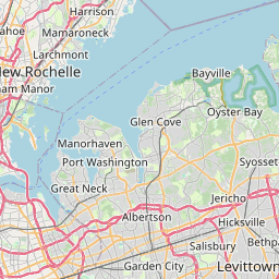
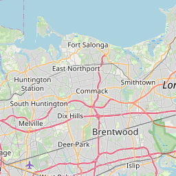
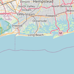
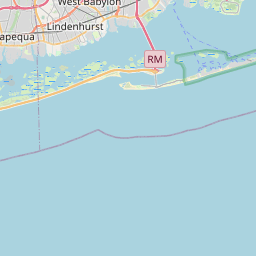
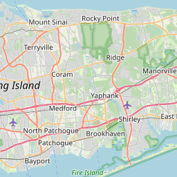
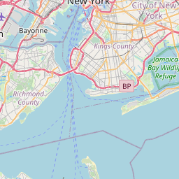
Distance Map Between Coram and Brooklyn
Coram, Albany, United States ↔ Brooklyn, Albany, United States = 52 miles = 83 km.

How far is it between Coram and Brooklyn
Coram is located in United States with (40.8687,-73.0015) coordinates and Brooklyn is located in United States with (40.6501,-73.9496) coordinates. The calculated flying distance from Coram to Brooklyn is equal to 52 miles which is equal to 83 km.
If you want to go by car, the driving distance between Coram and Brooklyn is 95.78 km. If you ride your car with an average speed of 112 kilometers/hour (70 miles/h), travel time will be 00 hours 51 minutes. Please check the avg. speed travel time table on the right for various options.
Difference between fly and go by a car is 13 km.
| City/Place | Latitude and Longitude | GPS Coordinates |
|---|---|---|
| Coram | 40.8687, -73.0015 | 40° 52´ 7.3560'' N 73° 0´ 5.3640'' W |
| Brooklyn | 40.6501, -73.9496 | 40° 39´ 0.3600'' N 73° 56´ 58.4880'' W |
Estimated Travel Time Between Coram and Brooklyn
| Average Speed | Travel Time |
|---|---|
| 30 mph (48 km/h) | 01 hours 59 minutes |
| 40 mph (64 km/h) | 01 hours 29 minutes |
| 50 mph (80 km/h) | 01 hours 11 minutes |
| 60 mph (97 km/h) | 00 hours 59 minutes |
| 70 mph (112 km/h) | 00 hours 51 minutes |
| 75 mph (120 km/h) | 00 hours 47 minutes |
Related Distances from Coram
| Cities | Distance |
|---|---|
| Coram to Centereach | 8 km |
| Coram to Brooklyn | 96 km |
| Coram to Commack | 34 km |
| Coram to Bay Shore | 34 km |
| Coram to Brentwood | 28 km |
Related Distances to Brooklyn
| Cities | Distance |
|---|---|
| Manhattan to Brooklyn | 24 km |
| New York City to Brooklyn | 10 km |
| Borough Of Queens to Brooklyn | 12 km |
| Staten Island to Brooklyn | 28 km |
| Long Island City to Brooklyn | 12 km |