Distance from Cotabato to Takeo
Distance between Cotabato and Takeo is 2177 kilometers (1352 miles).
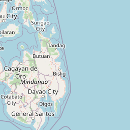
Distance Map Between Cotabato and Takeo
Cotabato, Philippines ↔ Takeo, Cambodia = 1352 miles = 2177 km.


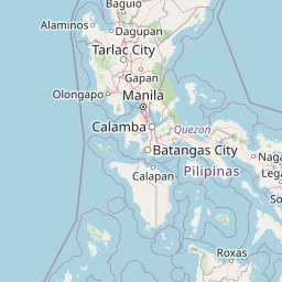
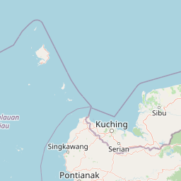
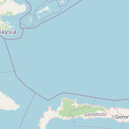
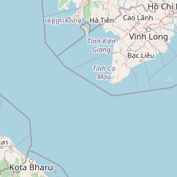

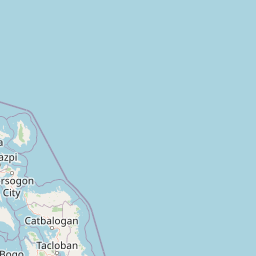
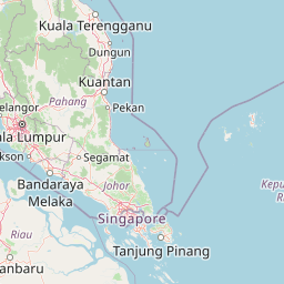
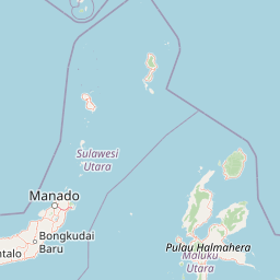

Leaflet | © OpenStreetMap
How far is it between Cotabato and Takeo
Cotabato is located in Philippines with (7.2236,124.2464) coordinates and Takeo is located in Cambodia with (10.9908,104.785) coordinates. The calculated flying distance from Cotabato to Takeo is equal to 1352 miles which is equal to 2177 km.
| City/Place | Latitude and Longitude | GPS Coordinates |
|---|---|---|
| Cotabato | 7.2236, 124.2464 | 7° 13´ 24.9960'' N 124° 14´ 47.0040'' E |
| Takeo | 10.9908, 104.785 | 10° 59´ 26.9160'' N 104° 47´ 5.9280'' E |
Cotabato, Philippines
Related Distances from Cotabato
| Cities | Distance |
|---|---|
| Cotabato to Davao | 227 km |
| Cotabato to Manila | 1225 km |
| Cotabato to Pagadian | 178 km |
| Cotabato to Koronadal | 130 km |
| Cotabato to Tacurong | 99 km |
Takeo, Cambodia
Related Distances to Takeo
| Cities | Distance |
|---|---|
| Phnom Penh to Takeo | 73 km |
| Kampot to Takeo | 86 km |
| Sihanoukville to Takeo | 185 km |
| Kampong Speu to Takeo | 78 km |
| Siem Reap to Takeo | 402 km |