Distance from Cotia to Jaboticabal
Distance between Cotia and Jaboticabal is 298 kilometers (185 miles).
Driving distance from Cotia to Jaboticabal is 356 kilometers (221 miles).
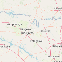
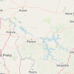
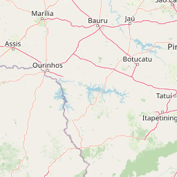
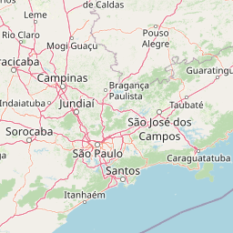
Distance Map Between Cotia and Jaboticabal
Cotia, Sao Paulo, Brazil ↔ Jaboticabal, Sao Paulo, Brazil = 185 miles = 298 km.


How far is it between Cotia and Jaboticabal
Cotia is located in Brazil with (-23.6039,-46.9192) coordinates and Jaboticabal is located in Brazil with (-21.2547,-48.3222) coordinates. The calculated flying distance from Cotia to Jaboticabal is equal to 185 miles which is equal to 298 km.
If you want to go by car, the driving distance between Cotia and Jaboticabal is 355.6 km. If you ride your car with an average speed of 112 kilometers/hour (70 miles/h), travel time will be 03 hours 10 minutes. Please check the avg. speed travel time table on the right for various options.
Difference between fly and go by a car is 58 km.
| City/Place | Latitude and Longitude | GPS Coordinates |
|---|---|---|
| Cotia | -23.6039, -46.9192 | 23° 36´ 14.0040'' S 46° 55´ 9.0120'' W |
| Jaboticabal | -21.2547, -48.3222 | 21° 15´ 16.9920'' S 48° 19´ 19.9920'' W |
Estimated Travel Time Between Cotia and Jaboticabal
| Average Speed | Travel Time |
|---|---|
| 30 mph (48 km/h) | 07 hours 24 minutes |
| 40 mph (64 km/h) | 05 hours 33 minutes |
| 50 mph (80 km/h) | 04 hours 26 minutes |
| 60 mph (97 km/h) | 03 hours 39 minutes |
| 70 mph (112 km/h) | 03 hours 10 minutes |
| 75 mph (120 km/h) | 02 hours 57 minutes |
Related Distances from Cotia
| Cities | Distance |
|---|---|
| Cotia to Piracicaba | 169 km |
| Cotia to Sorocaba | 78 km |
| Cotia to Jau | 290 km |
| Cotia to Pindamonhangaba | 187 km |
| Cotia to Indaiatuba | 115 km |
Related Distances to Jaboticabal
| Cities | Distance |
|---|---|
| Araraquara to Jaboticabal | 73 km |
| Itapeva to Jaboticabal | 397 km |
| Guarulhos to Jaboticabal | 355 km |
| Botucatu to Jaboticabal | 220 km |
| Barrinha to Jaboticabal | 20 km |