Distance from Cotia to Votuporanga
Distance between Cotia and Votuporanga is 473 kilometers (294 miles).
Driving distance from Cotia to Votuporanga is 533 kilometers (331 miles).
Distance Map Between Cotia and Votuporanga
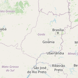
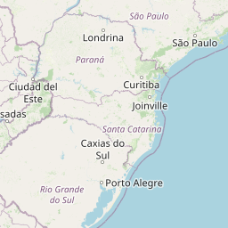
Cotia, Sao Paulo, Brazil ↔ Votuporanga, Sao Paulo, Brazil = 294 miles = 473 km.


How far is it between Cotia and Votuporanga
Cotia is located in Brazil with (-23.6039,-46.9192) coordinates and Votuporanga is located in Brazil with (-20.4228,-49.9728) coordinates. The calculated flying distance from Cotia to Votuporanga is equal to 294 miles which is equal to 473 km.
If you want to go by car, the driving distance between Cotia and Votuporanga is 532.7 km. If you ride your car with an average speed of 112 kilometers/hour (70 miles/h), travel time will be 04 hours 45 minutes. Please check the avg. speed travel time table on the right for various options.
Difference between fly and go by a car is 60 km.
| City/Place | Latitude and Longitude | GPS Coordinates |
|---|---|---|
| Cotia | -23.6039, -46.9192 | 23° 36´ 14.0040'' S 46° 55´ 9.0120'' W |
| Votuporanga | -20.4228, -49.9728 | 20° 25´ 22.0080'' S 49° 58´ 22.0080'' W |
Estimated Travel Time Between Cotia and Votuporanga
| Average Speed | Travel Time |
|---|---|
| 30 mph (48 km/h) | 11 hours 05 minutes |
| 40 mph (64 km/h) | 08 hours 19 minutes |
| 50 mph (80 km/h) | 06 hours 39 minutes |
| 60 mph (97 km/h) | 05 hours 29 minutes |
| 70 mph (112 km/h) | 04 hours 45 minutes |
| 75 mph (120 km/h) | 04 hours 26 minutes |
Related Distances from Cotia
| Cities | Distance |
|---|---|
| Cotia to Cravinhos | 304 km |
| Cotia to Cruzeiro | 257 km |
| Cotia to Cubatao | 95 km |
| Cotia to Diadema | 44 km |
| Cotia to Dois Corregos | 300 km |
| Cotia to Embu | 13 km |
| Cotia to Embu Guacu | 44 km |
| Cotia to Espirito Santo Do Pinhal | 211 km |
| Cotia to Fernandopolis | 566 km |
| Cotia to Ferraz De Vasconcelos | 91 km |
Related Distances to Votuporanga
| Cities | Distance |
|---|---|
| Sao Joao Da Boa Vista to Votuporanga | 430 km |
| Campinas to Votuporanga | 430 km |
| Espirito Santo Do Pinhal to Votuporanga | 450 km |
| Campos Do Jordao to Votuporanga | 661 km |
| Votorantim to Votuporanga | 507 km |
| Sao Jose Do Rio Preto to Votuporanga | 83 km |
| Santo Andre to Votuporanga | 553 km |
| Rio Claro to Votuporanga | 348 km |
| Sao Carlos to Votuporanga | 289 km |
| Ibitinga to Votuporanga | 221 km |