Distance from Coventry to Barrington
Distance between Coventry and Barrington is 31 kilometers (19 miles).
Driving distance from Coventry to Barrington is 55 kilometers (34 miles).
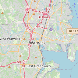
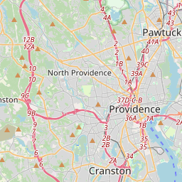
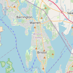
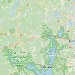
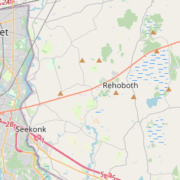
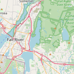
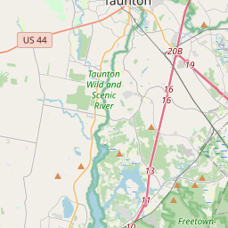
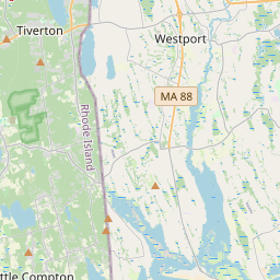
Distance Map Between Coventry and Barrington
Coventry, Providence, United States ↔ Barrington, Providence, United States = 19 miles = 31 km.


How far is it between Coventry and Barrington
Coventry is located in United States with (41.7001,-71.6828) coordinates and Barrington is located in United States with (41.7407,-71.3087) coordinates. The calculated flying distance from Coventry to Barrington is equal to 19 miles which is equal to 31 km.
If you want to go by car, the driving distance between Coventry and Barrington is 54.92 km. If you ride your car with an average speed of 112 kilometers/hour (70 miles/h), travel time will be 00 hours 29 minutes. Please check the avg. speed travel time table on the right for various options.
Difference between fly and go by a car is 24 km.
| City/Place | Latitude and Longitude | GPS Coordinates |
|---|---|---|
| Coventry | 41.7001, -71.6828 | 41° 42´ 0.3600'' N 71° 40´ 58.2240'' W |
| Barrington | 41.7407, -71.3087 | 41° 44´ 26.3760'' N 71° 18´ 31.1760'' W |
Estimated Travel Time Between Coventry and Barrington
| Average Speed | Travel Time |
|---|---|
| 30 mph (48 km/h) | 01 hours 08 minutes |
| 40 mph (64 km/h) | 00 hours 51 minutes |
| 50 mph (80 km/h) | 00 hours 41 minutes |
| 60 mph (97 km/h) | 00 hours 33 minutes |
| 70 mph (112 km/h) | 00 hours 29 minutes |
| 75 mph (120 km/h) | 00 hours 27 minutes |
Related Distances from Coventry
| Cities | Distance |
|---|---|
| Coventry 2 to Bristol 4 | 65 km |
| Coventry 2 to Cranston | 26 km |
| Coventry 2 to Barrington | 55 km |
| Coventry 2 to Cumberland | 49 km |
| Coventry 2 to Central Falls | 53 km |
Related Distances to Barrington
| Cities | Distance |
|---|---|
| Portsmouth 5 to Barrington | 19 km |
| Coventry 2 to Barrington | 55 km |
| Warwick to Barrington | 33 km |
| Woonsocket to Barrington | 40 km |
| East Providence to Barrington | 11 km |