Distance from Crewe to Liverpool
Distance between Crewe and Liverpool is 50 kilometers (31 miles).
Driving distance from Crewe to Liverpool is 76 kilometers (47 miles).
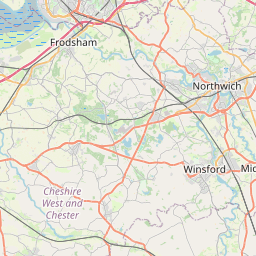
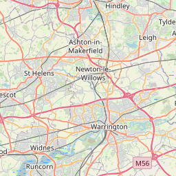
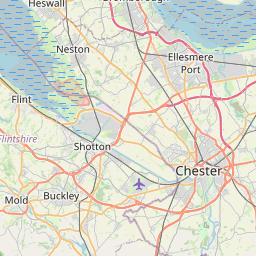
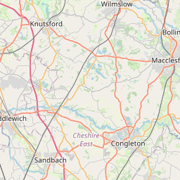
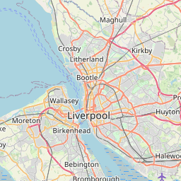
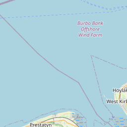
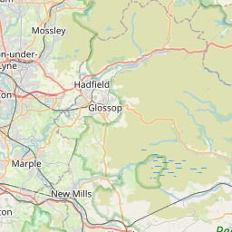
Distance Map Between Crewe and Liverpool
Crewe, London, United Kingdom ↔ Liverpool, London, United Kingdom = 31 miles = 50 km.


How far is it between Crewe and Liverpool
Crewe is located in United Kingdom with (53.0979,-2.4416) coordinates and Liverpool is located in United Kingdom with (53.4106,-2.9779) coordinates. The calculated flying distance from Crewe to Liverpool is equal to 31 miles which is equal to 50 km.
If you want to go by car, the driving distance between Crewe and Liverpool is 75.65 km. If you ride your car with an average speed of 112 kilometers/hour (70 miles/h), travel time will be 00 hours 40 minutes. Please check the avg. speed travel time table on the right for various options.
Difference between fly and go by a car is 26 km.
| City/Place | Latitude and Longitude | GPS Coordinates |
|---|---|---|
| Crewe | 53.0979, -2.4416 | 53° 5´ 52.3320'' N 2° 26´ 29.7960'' W |
| Liverpool | 53.4106, -2.9779 | 53° 24´ 38.0880'' N 2° 58´ 40.5840'' W |
Estimated Travel Time Between Crewe and Liverpool
| Average Speed | Travel Time |
|---|---|
| 30 mph (48 km/h) | 01 hours 34 minutes |
| 40 mph (64 km/h) | 01 hours 10 minutes |
| 50 mph (80 km/h) | 00 hours 56 minutes |
| 60 mph (97 km/h) | 00 hours 46 minutes |
| 70 mph (112 km/h) | 00 hours 40 minutes |
| 75 mph (120 km/h) | 00 hours 37 minutes |
Related Distances from Crewe
| Cities | Distance |
|---|---|
| Crewe to Manchester | 60 km |
| Crewe to Liverpool | 76 km |
| Crewe to Stoke On Trent | 25 km |
| Crewe to City Of London | 290 km |
| Crewe to Halifax 2 | 116 km |
Related Distances to Liverpool
| Cities | Distance |
|---|---|
| London to Liverpool | 355 km |
| Birmingham to Liverpool | 160 km |
| Manchester to Liverpool | 57 km |
| Chester to Liverpool | 45 km |
| Blackpool to Liverpool | 90 km |