Distance from Cucuta to Boa Vista
Distance between Cucuta and Boa Vista is 1426 kilometers (886 miles).
Driving distance from Cucuta to Boa Vista is 2160 kilometers (1342 miles).
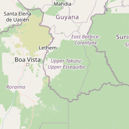
Distance Map Between Cucuta and Boa Vista
Cucuta, Colombia ↔ Boa Vista, Brazil = 886 miles = 1426 km.


How far is it between Cúcuta and Boa Vista
Cucuta is located in Colombia with (7.8939,-72.5078) coordinates and Boa Vista is located in Brazil with (2.8197,-60.6733) coordinates. The calculated flying distance from Cucuta to Boa Vista is equal to 886 miles which is equal to 1426 km.
If you want to go by car, the driving distance between Cucuta and Boa Vista is 2160.2 km. If you ride your car with an average speed of 112 kilometers/hour (70 miles/h), travel time will be 19 hours 17 minutes. Please check the avg. speed travel time table on the right for various options.
Difference between fly and go by a car is 734 km.
| City/Place | Latitude and Longitude | GPS Coordinates |
|---|---|---|
| Cucuta | 7.8939, -72.5078 | 7° 53´ 38.0760'' N 72° 30´ 28.1520'' W |
| Boa Vista | 2.8197, -60.6733 | 2° 49´ 10.9920'' N 60° 40´ 23.9880'' W |
Estimated Travel Time Between Cúcuta and Boa Vista
| Average Speed | Travel Time |
|---|---|
| 30 mph (48 km/h) | 45 hours 00 minutes |
| 40 mph (64 km/h) | 33 hours 45 minutes |
| 50 mph (80 km/h) | 27 hours 00 minutes |
| 60 mph (97 km/h) | 22 hours 16 minutes |
| 70 mph (112 km/h) | 19 hours 17 minutes |
| 75 mph (120 km/h) | 18 hours 00 minutes |
Related Distances from Cucuta
| Cities | Distance |
|---|---|
| Cucuta to Manaus | 2905 km |
| Cucuta to Boa Vista | 2160 km |
| Cucuta to Itacoatiara | 3170 km |
| Cucuta to Itaituba | 4685 km |
| Cucuta to Santarem | 5052 km |
Related Distances to Boa Vista
| Cities | Distance |
|---|---|
| Bogota to Boa Vista | 2566 km |
| Cartagena to Boa Vista | 2659 km |
| Cucuta to Boa Vista | 2160 km |
| Pereira to Boa Vista | 2898 km |
| Medellin to Boa Vista | 2732 km |