Distance from Cuenca to Portoviejo
Distance between Cuenca and Portoviejo is 261 kilometers (162 miles).
Driving distance from Cuenca to Portoviejo is 381 kilometers (237 miles).
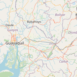
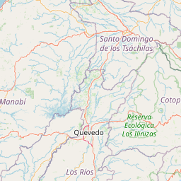
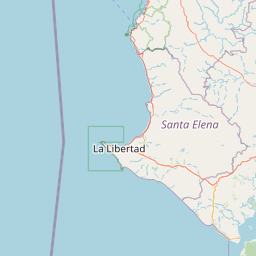
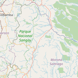
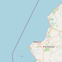
Distance Map Between Cuenca and Portoviejo
Cuenca, Ecuador ↔ Portoviejo, Ecuador = 162 miles = 261 km.


How far is it between Cuenca and Portoviejo
Cuenca is located in Ecuador with (-2.9006,-79.0045) coordinates and Portoviejo is located in Ecuador with (-1.0546,-80.4545) coordinates. The calculated flying distance from Cuenca to Portoviejo is equal to 162 miles which is equal to 261 km.
If you want to go by car, the driving distance between Cuenca and Portoviejo is 380.88 km. If you ride your car with an average speed of 112 kilometers/hour (70 miles/h), travel time will be 03 hours 24 minutes. Please check the avg. speed travel time table on the right for various options.
Difference between fly and go by a car is 120 km.
| City/Place | Latitude and Longitude | GPS Coordinates |
|---|---|---|
| Cuenca | -2.9006, -79.0045 | 2° 54´ 1.9800'' S 79° 0´ 16.3080'' W |
| Portoviejo | -1.0546, -80.4545 | 1° 3´ 16.4880'' S 80° 27´ 16.0200'' W |
Estimated Travel Time Between Cuenca and Portoviejo
| Average Speed | Travel Time |
|---|---|
| 30 mph (48 km/h) | 07 hours 56 minutes |
| 40 mph (64 km/h) | 05 hours 57 minutes |
| 50 mph (80 km/h) | 04 hours 45 minutes |
| 60 mph (97 km/h) | 03 hours 55 minutes |
| 70 mph (112 km/h) | 03 hours 24 minutes |
| 75 mph (120 km/h) | 03 hours 10 minutes |
Related Distances from Cuenca
| Cities | Distance |
|---|---|
| Cuenca to Quito | 440 km |
| Cuenca to Guayaquil | 199 km |
| Cuenca to Loja | 212 km |
| Cuenca to Riobamba | 246 km |
| Cuenca to Salinas 2 | 334 km |
Related Distances to Portoviejo
| Cities | Distance |
|---|---|
| Guayaquil to Portoviejo | 192 km |
| Quito to Portoviejo | 357 km |
| Ambato to Portoviejo | 352 km |
| Machala to Portoviejo | 369 km |
| Cuenca to Portoviejo | 381 km |