Distance from Curitiba to Galvez
Distance between Curitiba and Galvez is 1375 kilometers (855 miles).
Driving distance from Curitiba to Galvez is 1655 kilometers (1029 miles).
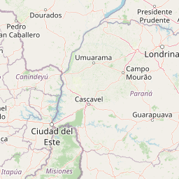
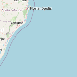
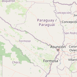
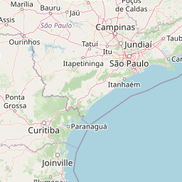
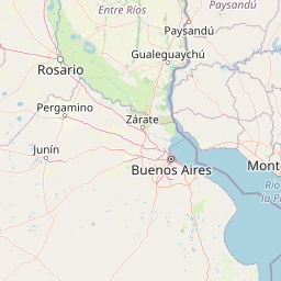
Distance Map Between Curitiba and Galvez
Curitiba, Brazil ↔ Galvez, Santa Fe de la Vera Cruz, Argentina = 855 miles = 1375 km.


How far is it between Curitiba and Gálvez
Curitiba is located in Brazil with (-25.4278,-49.2731) coordinates and Galvez is located in Argentina with (-32.0293,-61.221) coordinates. The calculated flying distance from Curitiba to Galvez is equal to 855 miles which is equal to 1375 km.
If you want to go by car, the driving distance between Curitiba and Galvez is 1655.4 km. If you ride your car with an average speed of 112 kilometers/hour (70 miles/h), travel time will be 14 hours 46 minutes. Please check the avg. speed travel time table on the right for various options.
Difference between fly and go by a car is 280 km.
| City/Place | Latitude and Longitude | GPS Coordinates |
|---|---|---|
| Curitiba | -25.4278, -49.2731 | 25° 25´ 40.0080'' S 49° 16´ 23.0160'' W |
| Galvez | -32.0293, -61.221 | 32° 1´ 45.3720'' S 61° 13´ 15.7080'' W |
Estimated Travel Time Between Curitiba and Gálvez
| Average Speed | Travel Time |
|---|---|
| 30 mph (48 km/h) | 34 hours 29 minutes |
| 40 mph (64 km/h) | 25 hours 51 minutes |
| 50 mph (80 km/h) | 20 hours 41 minutes |
| 60 mph (97 km/h) | 17 hours 03 minutes |
| 70 mph (112 km/h) | 14 hours 46 minutes |
| 75 mph (120 km/h) | 13 hours 47 minutes |
Related Distances from Curitiba
| Cities | Distance |
|---|---|
| Curitiba to Buenos Aires | 1826 km |
| Curitiba to Puerto Rico | 750 km |
| Curitiba to Parana | 1579 km |
| Curitiba to San Francisco 2 | 1740 km |
| Curitiba to Mendoza | 2475 km |
Related Distances to Galvez
| Cities | Distance |
|---|---|
| Santo Andre to Galvez | 2121 km |
| Sao Paulo to Galvez | 2085 km |
| Belo Horizonte to Galvez | 2670 km |
| Rio De Janeiro to Galvez | 2518 km |
| Curitiba to Galvez | 1655 km |