Distance from Curitiba to Yacuiba
Distance between Curitiba and Yacuiba is 1514 kilometers (941 miles).
Driving distance from Curitiba to Yacuiba is 2201 kilometers (1368 miles).
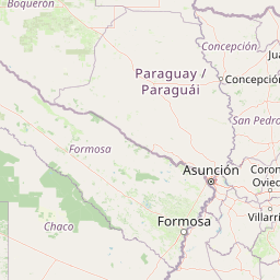
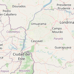
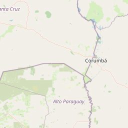
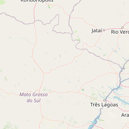
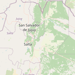
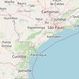
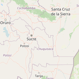
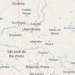
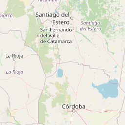
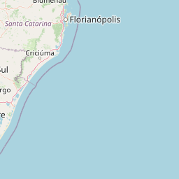
Distance Map Between Curitiba and Yacuiba
Curitiba, Brazil ↔ Yacuiba, Tarija, Bolivia = 941 miles = 1514 km.


How far is it between Curitiba and Yacuiba
Curitiba is located in Brazil with (-25.4278,-49.2731) coordinates and Yacuiba is located in Bolivia with (-22.0164,-63.6775) coordinates. The calculated flying distance from Curitiba to Yacuiba is equal to 941 miles which is equal to 1514 km.
If you want to go by car, the driving distance between Curitiba and Yacuiba is 2201.01 km. If you ride your car with an average speed of 112 kilometers/hour (70 miles/h), travel time will be 19 hours 39 minutes. Please check the avg. speed travel time table on the right for various options.
Difference between fly and go by a car is 687 km.
| City/Place | Latitude and Longitude | GPS Coordinates |
|---|---|---|
| Curitiba | -25.4278, -49.2731 | 25° 25´ 40.0080'' S 49° 16´ 23.0160'' W |
| Yacuiba | -22.0164, -63.6775 | 22° 0´ 59.1480'' S 63° 40´ 39.1080'' W |
Estimated Travel Time Between Curitiba and Yacuiba
| Average Speed | Travel Time |
|---|---|
| 30 mph (48 km/h) | 45 hours 51 minutes |
| 40 mph (64 km/h) | 34 hours 23 minutes |
| 50 mph (80 km/h) | 27 hours 30 minutes |
| 60 mph (97 km/h) | 22 hours 41 minutes |
| 70 mph (112 km/h) | 19 hours 39 minutes |
| 75 mph (120 km/h) | 18 hours 20 minutes |
Related Distances from Curitiba
| Cities | Distance |
|---|---|
| Curitiba to Cobija | 3834 km |
| Curitiba to Cochabamba | 2533 km |
| Curitiba to Cotoca | 2065 km |
| Curitiba to Guayaramerin | 3475 km |
| Curitiba to Huanuni | 2788 km |
| Curitiba to La Paz | 2921 km |
| Curitiba to Llallagua | 2833 km |
| Curitiba to Mizque | 2453 km |
| Curitiba to Montero | 2121 km |
| Curitiba to Oruro | 2752 km |
Related Distances to Yacuiba
| Cities | Distance |
|---|---|
| Carolina 2 to Yacuiba | 3439 km |
| Brasilia to Yacuiba | 2412 km |
| Sao Bernardo Do Campo to Yacuiba | 2164 km |
| Montes Claros to Yacuiba | 2730 km |
| Guarulhos to Yacuiba | 2160 km |
| Campinas to Yacuiba | 2135 km |
| Goiania to Yacuiba | 2208 km |
| Santa Maria Da Vitoria to Yacuiba | 2988 km |
| Palmas to Yacuiba | 3062 km |
| Balsas to Yacuiba | 3622 km |