Distance from Da Lat to Dong Ha
Distance between Da Lat and Dong Ha is 560 kilometers (348 miles).
Driving distance from Da Lat to Dong Ha is 814 kilometers (506 miles).
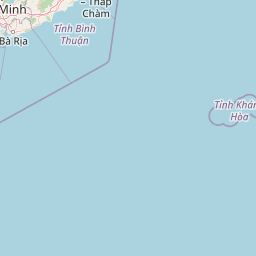
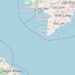
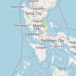
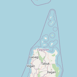
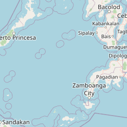
Distance Map Between Da Lat and Dong Ha
Da Lat, Vietnam ↔ Dong Ha, Vietnam = 348 miles = 560 km.


How far is it between Ðà Lạt and Ðông Hà
Da Lat is located in Vietnam with (11.9465,108.4419) coordinates and Dong Ha is located in Vietnam with (16.8163,107.1003) coordinates. The calculated flying distance from Da Lat to Dong Ha is equal to 348 miles which is equal to 560 km.
If you want to go by car, the driving distance between Da Lat and Dong Ha is 814.25 km. If you ride your car with an average speed of 112 kilometers/hour (70 miles/h), travel time will be 07 hours 16 minutes. Please check the avg. speed travel time table on the right for various options.
Difference between fly and go by a car is 254 km.
| City/Place | Latitude and Longitude | GPS Coordinates |
|---|---|---|
| Da Lat | 11.9465, 108.4419 | 11° 56´ 47.2560'' N 108° 26´ 30.9480'' E |
| Dong Ha | 16.8163, 107.1003 | 16° 48´ 58.5000'' N 107° 6´ 1.1160'' E |
Estimated Travel Time Between Ðà Lạt and Ðông Hà
| Average Speed | Travel Time |
|---|---|
| 30 mph (48 km/h) | 16 hours 57 minutes |
| 40 mph (64 km/h) | 12 hours 43 minutes |
| 50 mph (80 km/h) | 10 hours 10 minutes |
| 60 mph (97 km/h) | 08 hours 23 minutes |
| 70 mph (112 km/h) | 07 hours 16 minutes |
| 75 mph (120 km/h) | 06 hours 47 minutes |
Related Distances from Da Lat
| Cities | Distance |
|---|---|
| Da Lat to Ho Chi Minh City | 306 km |
| Da Lat to Da Nang | 667 km |
| Da Lat to Nha Trang | 138 km |
| Da Lat to Hanoi | 1608 km |
| Da Lat to Hue | 840 km |
Related Distances to Dong Ha
| Cities | Distance |
|---|---|
| Da Nang to Dong Ha | 191 km |
| Can Tho to Dong Ha | 1171 km |
| Ben Tre to Dong Ha | 1100 km |
| Da Lat to Dong Ha | 814 km |
| Ca Mau to Dong Ha | 1316 km |