Distance from Da Nang to Hanoi
Distance between Da Nang and Hanoi is 605 kilometers (376 miles).
Driving distance from Da Nang to Hanoi is 827 kilometers (514 miles).
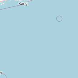
Distance Map Between Da Nang and Hanoi
Da Nang, Vietnam ↔ Hanoi, Vietnam = 376 miles = 605 km.


How far is it between Da Nang and Hanoi
Da Nang is located in Vietnam with (16.0678,108.2208) coordinates and Hanoi is located in Vietnam with (21.0245,105.8412) coordinates. The calculated flying distance from Da Nang to Hanoi is equal to 376 miles which is equal to 605 km.
If you want to go by car, the driving distance between Da Nang and Hanoi is 826.72 km. If you ride your car with an average speed of 112 kilometers/hour (70 miles/h), travel time will be 07 hours 22 minutes. Please check the avg. speed travel time table on the right for various options.
Difference between fly and go by a car is 222 km.
| City/Place | Latitude and Longitude | GPS Coordinates |
|---|---|---|
| Da Nang | 16.0678, 108.2208 | 16° 4´ 4.0080'' N 108° 13´ 14.9880'' E |
| Hanoi | 21.0245, 105.8412 | 21° 1´ 28.2000'' N 105° 50´ 28.2120'' E |
Estimated Travel Time Between Da Nang and Hanoi
| Average Speed | Travel Time |
|---|---|
| 30 mph (48 km/h) | 17 hours 13 minutes |
| 40 mph (64 km/h) | 12 hours 55 minutes |
| 50 mph (80 km/h) | 10 hours 20 minutes |
| 60 mph (97 km/h) | 08 hours 31 minutes |
| 70 mph (112 km/h) | 07 hours 22 minutes |
| 75 mph (120 km/h) | 06 hours 53 minutes |
Related Distances from Da Nang
| Cities | Distance |
|---|---|
| Da Nang to Ho Chi Minh City | 855 km |
| Da Nang to Hue | 97 km |
| Da Nang to Hanoi | 827 km |
| Da Nang to Hoi An | 29 km |
| Da Nang to Nha Trang | 540 km |
Related Distances to Hanoi
| Cities | Distance |
|---|---|
| Ho Chi Minh City to Hanoi | 1616 km |
| Da Nang to Hanoi | 827 km |
| Haiphong to Hanoi | 103 km |
| Bac Ninh to Hanoi | 38 km |
| Hue to Hanoi | 669 km |