Distance from Dahanu to Dhule
Distance between Dahanu and Dhule is 239 kilometers (148 miles).
Driving distance from Dahanu to Dhule is 315 kilometers (195 miles).
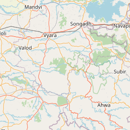
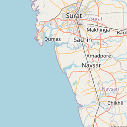
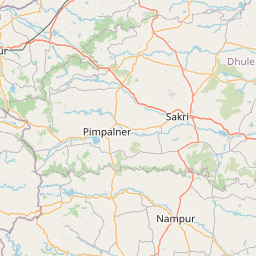
Distance Map Between Dahanu and Dhule
Dahanu, Mumbai, India ↔ Dhule, Mumbai, India = 148 miles = 239 km.


How far is it between Dāhānu and Dhule
Dahanu is located in India with (19.9678,72.7126) coordinates and Dhule is located in India with (20.9025,74.7774) coordinates. The calculated flying distance from Dahanu to Dhule is equal to 148 miles which is equal to 239 km.
If you want to go by car, the driving distance between Dahanu and Dhule is 314.61 km. If you ride your car with an average speed of 112 kilometers/hour (70 miles/h), travel time will be 02 hours 48 minutes. Please check the avg. speed travel time table on the right for various options.
Difference between fly and go by a car is 76 km.
| City/Place | Latitude and Longitude | GPS Coordinates |
|---|---|---|
| Dahanu | 19.9678, 72.7126 | 19° 58´ 4.0080'' N 72° 42´ 45.4680'' E |
| Dhule | 20.9025, 74.7774 | 20° 54´ 9.0360'' N 74° 46´ 38.4600'' E |
Estimated Travel Time Between Dāhānu and Dhule
| Average Speed | Travel Time |
|---|---|
| 30 mph (48 km/h) | 06 hours 33 minutes |
| 40 mph (64 km/h) | 04 hours 54 minutes |
| 50 mph (80 km/h) | 03 hours 55 minutes |
| 60 mph (97 km/h) | 03 hours 14 minutes |
| 70 mph (112 km/h) | 02 hours 48 minutes |
| 75 mph (120 km/h) | 02 hours 37 minutes |
Related Distances from Dahanu
| Cities | Distance |
|---|---|
| Dahanu to Virar | 96 km |
| Dahanu to Palghar | 38 km |
| Dahanu to Nashik | 152 km |
| Dahanu to Ulhasnagar | 130 km |
| Dahanu to Pune | 273 km |
Related Distances to Dhule
| Cities | Distance |
|---|---|
| Amalner to Dhule | 37 km |
| Chandvad to Dhule | 96 km |
| Aurangabad to Dhule | 150 km |
| Arvi to Dhule | 429 km |
| Chopda to Dhule | 74 km |