Distance from Dahegam to Than
Distance between Dahegam and Than is 179 kilometers (111 miles).
Driving distance from Dahegam to Than is 210 kilometers (130 miles).
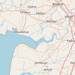
Distance Map Between Dahegam and Than
Dahegam, Ghandinagar, India ↔ Than, Ghandinagar, India = 111 miles = 179 km.


How far is it between Dahegām and Thān
Dahegam is located in India with (23.169,72.8216) coordinates and Than is located in India with (22.5742,71.1994) coordinates. The calculated flying distance from Dahegam to Than is equal to 111 miles which is equal to 179 km.
If you want to go by car, the driving distance between Dahegam and Than is 209.94 km. If you ride your car with an average speed of 112 kilometers/hour (70 miles/h), travel time will be 01 hours 52 minutes. Please check the avg. speed travel time table on the right for various options.
Difference between fly and go by a car is 31 km.
| City/Place | Latitude and Longitude | GPS Coordinates |
|---|---|---|
| Dahegam | 23.169, 72.8216 | 23° 10´ 8.5080'' N 72° 49´ 17.7960'' E |
| Than | 22.5742, 71.1994 | 22° 34´ 27.1920'' N 71° 11´ 57.9120'' E |
Estimated Travel Time Between Dahegām and Thān
| Average Speed | Travel Time |
|---|---|
| 30 mph (48 km/h) | 04 hours 22 minutes |
| 40 mph (64 km/h) | 03 hours 16 minutes |
| 50 mph (80 km/h) | 02 hours 37 minutes |
| 60 mph (97 km/h) | 02 hours 09 minutes |
| 70 mph (112 km/h) | 01 hours 52 minutes |
| 75 mph (120 km/h) | 01 hours 44 minutes |
Related Distances from Dahegam
| Cities | Distance |
|---|---|
| Dahegam to Vadodara | 128 km |
| Dahegam to Kapadvanj | 40 km |
| Dahegam to Modasa | 72 km |
| Dahegam to Surat | 278 km |
| Dahegam to Dwarka | 480 km |
Related Distances to Than
| Cities | Distance |
|---|---|
| Chotila to Than | 21 km |
| Airoli to Thane | 11 km |
| Powai to Thane | 14 km |
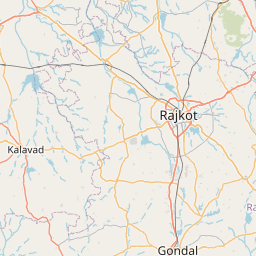
| Rajkot to Than | 70 km |
| Dombivli to Thane | 29 km |