Distance from Dakor to Godhra
Distance between Dakor and Godhra is 48 kilometers (30 miles).
Driving distance from Dakor to Godhra is 55 kilometers (34 miles).
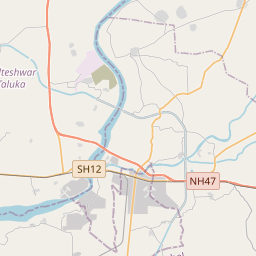
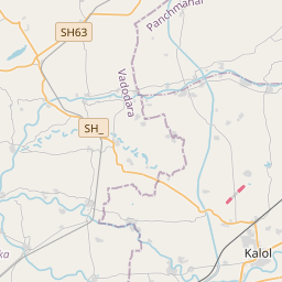
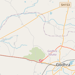
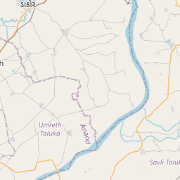
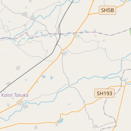
Distance Map Between Dakor and Godhra
Dakor, Ghandinagar, India ↔ Godhra, Ghandinagar, India = 30 miles = 48 km.


How far is it between Dākor and Godhra
Dakor is located in India with (22.7527,73.1497) coordinates and Godhra is located in India with (22.7755,73.6149) coordinates. The calculated flying distance from Dakor to Godhra is equal to 30 miles which is equal to 48 km.
If you want to go by car, the driving distance between Dakor and Godhra is 55.2 km. If you ride your car with an average speed of 112 kilometers/hour (70 miles/h), travel time will be 00 hours 29 minutes. Please check the avg. speed travel time table on the right for various options.
Difference between fly and go by a car is 7 km.
| City/Place | Latitude and Longitude | GPS Coordinates |
|---|---|---|
| Dakor | 22.7527, 73.1497 | 22° 45´ 9.6480'' N 73° 8´ 58.8120'' E |
| Godhra | 22.7755, 73.6149 | 22° 46´ 31.6920'' N 73° 36´ 53.5680'' E |
Estimated Travel Time Between Dākor and Godhra
| Average Speed | Travel Time |
|---|---|
| 30 mph (48 km/h) | 01 hours 09 minutes |
| 40 mph (64 km/h) | 00 hours 51 minutes |
| 50 mph (80 km/h) | 00 hours 41 minutes |
| 60 mph (97 km/h) | 00 hours 34 minutes |
| 70 mph (112 km/h) | 00 hours 29 minutes |
| 75 mph (120 km/h) | 00 hours 27 minutes |
Related Distances from Dakor
| Cities | Distance |
|---|---|
| Dakor to Khambhat | 89 km |
| Dakor to Umreth | 7 km |
| Dakor to Kapadvanj | 32 km |
| Dakor to Vadodara | 69 km |
| Dakor to Mahemdavad | 44 km |
Related Distances to Godhra
| Cities | Distance |
|---|---|
| Devgadh Bariya to Godhra | 39 km |
| Ahmedabad to Godhra | 126 km |
| Dahod to Godhra | 74 km |
| Dakor to Godhra | 55 km |
| Borsad to Godhra | 113 km |