Distance from Dallas to Baytown
Distance between Dallas and Baytown is 381 kilometers (237 miles).
Driving distance from Dallas to Baytown is 424 kilometers (263 miles).
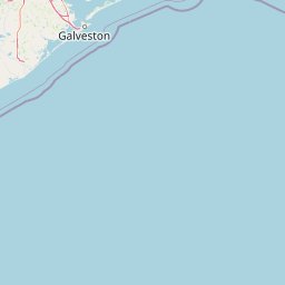
Distance Map Between Dallas and Baytown
Dallas, Austin, United States ↔ Baytown, Austin, United States = 237 miles = 381 km.


How far is it between Dallas and Baytown
Dallas is located in United States with (32.7831,-96.8067) coordinates and Baytown is located in United States with (29.7355,-94.9774) coordinates. The calculated flying distance from Dallas to Baytown is equal to 237 miles which is equal to 381 km.
If you want to go by car, the driving distance between Dallas and Baytown is 423.83 km. If you ride your car with an average speed of 112 kilometers/hour (70 miles/h), travel time will be 03 hours 47 minutes. Please check the avg. speed travel time table on the right for various options.
Difference between fly and go by a car is 43 km.
| City/Place | Latitude and Longitude | GPS Coordinates |
|---|---|---|
| Dallas | 32.7831, -96.8067 | 32° 46´ 59.0160'' N 96° 48´ 24.0120'' W |
| Baytown | 29.7355, -94.9774 | 29° 44´ 7.8000'' N 94° 58´ 38.7480'' W |
Estimated Travel Time Between Dallas and Baytown
| Average Speed | Travel Time |
|---|---|
| 30 mph (48 km/h) | 08 hours 49 minutes |
| 40 mph (64 km/h) | 06 hours 37 minutes |
| 50 mph (80 km/h) | 05 hours 17 minutes |
| 60 mph (97 km/h) | 04 hours 22 minutes |
| 70 mph (112 km/h) | 03 hours 47 minutes |
| 75 mph (120 km/h) | 03 hours 31 minutes |
Related Distances from Dallas
| Cities | Distance |
|---|---|
| Dallas to Austin | 315 km |
| Dallas to San Antonio | 442 km |
| Dallas to Corpus Christi | 663 km |
| Dallas to College Station | 284 km |
| Dallas to Atlanta | 1259 km |
Related Distances to Baytown
| Cities | Distance |
|---|---|
| Houston to Baytown | 41 km |
| Galveston to Baytown | 66 km |
| Beaumont to Baytown | 109 km |
| Texas City to Baytown | 50 km |
| Cypress 2 to Baytown | 84 km |