Distance from Damoh to Maihar
Distance between Damoh and Maihar is 142 kilometers (88 miles).
Driving distance from Damoh to Maihar is 165 kilometers (102 miles).
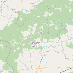
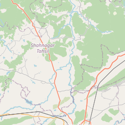
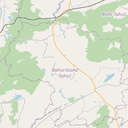
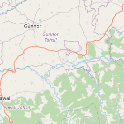
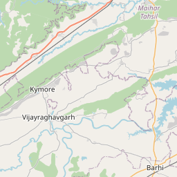
Distance Map Between Damoh and Maihar
Damoh, Bhopal, India ↔ Maihar, Bhopal, India = 88 miles = 142 km.


How far is it between Damoh and Maihar
Damoh is located in India with (23.8365,79.4413) coordinates and Maihar is located in India with (24.2645,80.7594) coordinates. The calculated flying distance from Damoh to Maihar is equal to 88 miles which is equal to 142 km.
If you want to go by car, the driving distance between Damoh and Maihar is 164.58 km. If you ride your car with an average speed of 112 kilometers/hour (70 miles/h), travel time will be 01 hours 28 minutes. Please check the avg. speed travel time table on the right for various options.
Difference between fly and go by a car is 23 km.
| City/Place | Latitude and Longitude | GPS Coordinates |
|---|---|---|
| Damoh | 23.8365, 79.4413 | 23° 50´ 11.5080'' N 79° 26´ 28.8240'' E |
| Maihar | 24.2645, 80.7594 | 24° 15´ 52.0920'' N 80° 45´ 33.8760'' E |
Estimated Travel Time Between Damoh and Maihar
| Average Speed | Travel Time |
|---|---|
| 30 mph (48 km/h) | 03 hours 25 minutes |
| 40 mph (64 km/h) | 02 hours 34 minutes |
| 50 mph (80 km/h) | 02 hours 03 minutes |
| 60 mph (97 km/h) | 01 hours 41 minutes |
| 70 mph (112 km/h) | 01 hours 28 minutes |
| 75 mph (120 km/h) | 01 hours 22 minutes |
Related Distances from Damoh
| Cities | Distance |
|---|---|
| Damoh to Hatta | 38 km |
| Damoh to Katangi | 69 km |
| Damoh to Rehli | 53 km |
| Damoh to Garhakota | 33 km |
| Damoh to Narsinghgarh | 277 km |
Related Distances to Maihar
| Cities | Distance |
|---|---|
| Amarpatan to Maihar | 26 km |
| Hatta to Maihar | 163 km |
| Jabalpur to Maihar | 159 km |
| Katangi 2 to Maihar | 360 km |
| Chhatarpur to Maihar | 163 km |