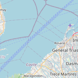
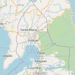
Distance from Dasmarinas to Malanday
Distance between Dasmarinas and Malanday is 47 kilometers (29 miles).
Driving distance from Dasmarinas to Malanday is 65 kilometers (40 miles).
Distance Map Between Dasmarinas and Malanday
Dasmarinas, Calamba, Philippines ↔ Malanday, Calamba, Philippines = 29 miles = 47 km.


How far is it between Dasmariñas and Malanday
Dasmarinas is located in Philippines with (14.3294,120.9367) coordinates and Malanday is located in Philippines with (14.7069,121.1306) coordinates. The calculated flying distance from Dasmarinas to Malanday is equal to 29 miles which is equal to 47 km.
If you want to go by car, the driving distance between Dasmarinas and Malanday is 64.59 km. If you ride your car with an average speed of 112 kilometers/hour (70 miles/h), travel time will be 00 hours 34 minutes. Please check the avg. speed travel time table on the right for various options.
Difference between fly and go by a car is 18 km.
| City/Place | Latitude and Longitude | GPS Coordinates |
|---|---|---|
| Dasmarinas | 14.3294, 120.9367 | 14° 19´ 45.9840'' N 120° 56´ 12.0120'' E |
| Malanday | 14.7069, 121.1306 | 14° 42´ 24.8400'' N 121° 7´ 50.1600'' E |
Estimated Travel Time Between Dasmariñas and Malanday
| Average Speed | Travel Time |
|---|---|
| 30 mph (48 km/h) | 01 hours 20 minutes |
| 40 mph (64 km/h) | 01 hours 00 minutes |
| 50 mph (80 km/h) | 00 hours 48 minutes |
| 60 mph (97 km/h) | 00 hours 39 minutes |
| 70 mph (112 km/h) | 00 hours 34 minutes |
| 75 mph (120 km/h) | 00 hours 32 minutes |
Related Distances from Dasmarinas
| Cities | Distance |
|---|---|
| Dasmarinas to General Trias | 12 km |
| Dasmarinas to Imus | 12 km |
| Dasmarinas to Naic | 26 km |
| Dasmarinas to Silang | 15 km |
| Dasmarinas to Indang | 25 km |
Related Distances to Malanday
| Cities | Distance |
|---|---|
| Batangas to Malanday | 127 km |
| Binangonan to Malanday | 34 km |
| Banaybanay to Malanday | 124 km |
| Candelaria to Malanday | 126 km |
| Lucban to Malanday | 135 km |