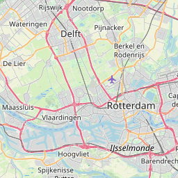
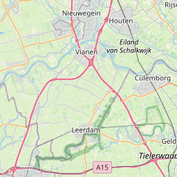
Distance from Delft to Leerdam
Distance between Delft and Leerdam is 52 kilometers (32 miles).
Driving distance from Delft to Leerdam is 74 kilometers (46 miles).
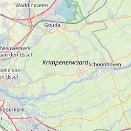
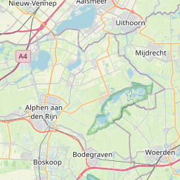
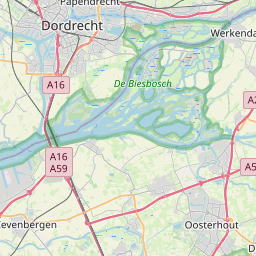
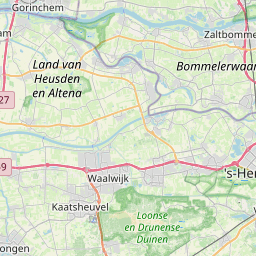
Distance Map Between Delft and Leerdam
Delft, , Netherlands ↔ Leerdam, , Netherlands = 32 miles = 52 km.

How far is it between Delft and Leerdam
Delft is located in Netherlands with (52.0067,4.3556) coordinates and Leerdam is located in Netherlands with (51.8933,5.0917) coordinates. The calculated flying distance from Delft to Leerdam is equal to 32 miles which is equal to 52 km.
If you want to go by car, the driving distance between Delft and Leerdam is 73.86 km. If you ride your car with an average speed of 112 kilometers/hour (70 miles/h), travel time will be 00 hours 39 minutes. Please check the avg. speed travel time table on the right for various options.
Difference between fly and go by a car is 22 km.
| City/Place | Latitude and Longitude | GPS Coordinates |
|---|---|---|
| Delft | 52.0067, 4.3556 | 52° 0´ 24.0120'' N 4° 21´ 20.0160'' E |
| Leerdam | 51.8933, 5.0917 | 51° 53´ 35.9880'' N 5° 5´ 30.0120'' E |
Estimated Travel Time Between Delft and Leerdam
| Average Speed | Travel Time |
|---|---|
| 30 mph (48 km/h) | 01 hours 32 minutes |
| 40 mph (64 km/h) | 01 hours 09 minutes |
| 50 mph (80 km/h) | 00 hours 55 minutes |
| 60 mph (97 km/h) | 00 hours 45 minutes |
| 70 mph (112 km/h) | 00 hours 39 minutes |
| 75 mph (120 km/h) | 00 hours 36 minutes |
Related Distances from Delft
| Cities | Distance |
|---|---|
| Delft to Rotterdam | 17 km |
| Delft to The Hague | 11 km |
| Delft to Leiden | 25 km |
| Delft to Gouda | 33 km |
| Delft to Utrecht | 70 km |
Related Distances to Leerdam
| Cities | Distance |
|---|---|
| Gouda to Leerdam | 56 km |
| Ypenburg to Leerdam | 76 km |
| Capelle Aan Den Ijssel to Leerdam | 55 km |
| Alphen Aan Den Rijn to Leerdam | 58 km |
| Bergschenhoek to Leerdam | 69 km |