Distance from Deoband to Kiratpur
Distance between Deoband and Kiratpur is 55 kilometers (34 miles).
Driving distance from Deoband to Kiratpur is 97 kilometers (61 miles).
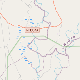
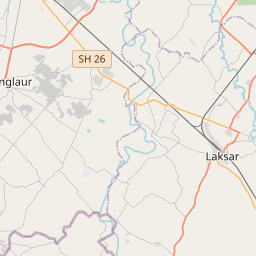
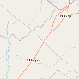
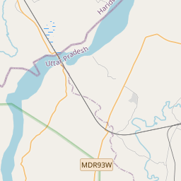
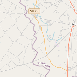
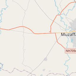
Distance Map Between Deoband and Kiratpur
Deoband, Lucknow, India ↔ Kiratpur, Lucknow, India = 34 miles = 55 km.


How far is it between Deoband and Kīratpur
Deoband is located in India with (29.6929,77.6778) coordinates and Kiratpur is located in India with (29.5051,78.2033) coordinates. The calculated flying distance from Deoband to Kiratpur is equal to 34 miles which is equal to 55 km.
If you want to go by car, the driving distance between Deoband and Kiratpur is 97.49 km. If you ride your car with an average speed of 112 kilometers/hour (70 miles/h), travel time will be 00 hours 52 minutes. Please check the avg. speed travel time table on the right for various options.
Difference between fly and go by a car is 42 km.
| City/Place | Latitude and Longitude | GPS Coordinates |
|---|---|---|
| Deoband | 29.6929, 77.6778 | 29° 41´ 34.4760'' N 77° 40´ 40.0080'' E |
| Kiratpur | 29.5051, 78.2033 | 29° 30´ 18.4320'' N 78° 12´ 11.8800'' E |
Estimated Travel Time Between Deoband and Kīratpur
| Average Speed | Travel Time |
|---|---|
| 30 mph (48 km/h) | 02 hours 01 minutes |
| 40 mph (64 km/h) | 01 hours 31 minutes |
| 50 mph (80 km/h) | 01 hours 13 minutes |
| 60 mph (97 km/h) | 01 hours 00 minutes |
| 70 mph (112 km/h) | 00 hours 52 minutes |
| 75 mph (120 km/h) | 00 hours 48 minutes |
Related Distances from Deoband
| Cities | Distance |
|---|---|
| Deoband to Nanauta | 26 km |
| Deoband to Kiratpur | 97 km |
| Deoband to Gangoh | 43 km |
| Deoband to Shamli | 59 km |
| Deoband to Thana Bhawan | 41 km |
Related Distances to Kiratpur
| Cities | Distance |
|---|---|
| Bijnor to Kiratpur | 17 km |
| Deoband to Kiratpur | 97 km |
| Dhampur to Kiratpur | 40 km |
| Chandpur to Kiratpur | 51 km |
| Bilaspur 2 to Kiratpur | 160 km |