Distance from Deoband to Rura
Distance between Deoband and Rura is 418 kilometers (260 miles).
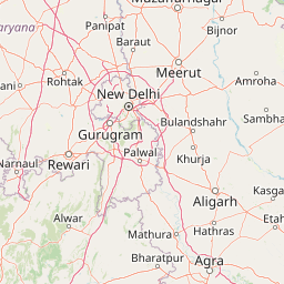
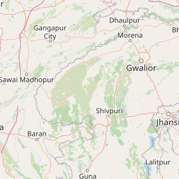
Distance Map Between Deoband and Rura
Deoband, Lucknow, India ↔ Rura, Lucknow, India = 260 miles = 418 km.


Leaflet | © OpenStreetMap
How far is it between Deoband and Rura
Deoband is located in India with (29.6929,77.6778) coordinates and Rura is located in India with (26.487,79.9024) coordinates. The calculated flying distance from Deoband to Rura is equal to 260 miles which is equal to 418 km.
| City/Place | Latitude and Longitude | GPS Coordinates |
|---|---|---|
| Deoband | 29.6929, 77.6778 | 29° 41´ 34.4760'' N 77° 40´ 40.0080'' E |
| Rura | 26.487, 79.9024 | 26° 29´ 13.2000'' N 79° 54´ 8.7480'' E |
Deoband, Lucknow, India
Related Distances from Deoband
| Cities | Distance |
|---|---|
| Deoband to Nanauta | 26 km |
| Deoband to Kiratpur | 97 km |
| Deoband to Gangoh | 43 km |
| Deoband to Shamli | 59 km |
| Deoband to Thana Bhawan | 41 km |
Rura, Lucknow, India
Related Distances to Rura
| Cities | Distance |
|---|---|
| Kanpur to Rura | 68 km |
| Auraiya to Rura | 60 km |
| Orai to Rura | 85 km |
| Kannauj to Rura | 93 km |
| Etawah to Rura | 125 km |