Distance from Dholka to Gadhada
Distance between Dholka and Gadhada is 122 kilometers (76 miles).
Driving distance from Dholka to Gadhada is 148 kilometers (92 miles).
Distance Map Between Dholka and Gadhada
Dholka, Ghandinagar, India ↔ Gadhada, Ghandinagar, India = 76 miles = 122 km.


How far is it between Dholka and Gadhada
Dholka is located in India with (22.7273,72.4413) coordinates and Gadhada is located in India with (21.9696,71.5783) coordinates. The calculated flying distance from Dholka to Gadhada is equal to 76 miles which is equal to 122 km.
If you want to go by car, the driving distance between Dholka and Gadhada is 147.51 km. If you ride your car with an average speed of 112 kilometers/hour (70 miles/h), travel time will be 01 hours 19 minutes. Please check the avg. speed travel time table on the right for various options.
Difference between fly and go by a car is 26 km.
| City/Place | Latitude and Longitude | GPS Coordinates |
|---|---|---|
| Dholka | 22.7273, 72.4413 | 22° 43´ 38.3520'' N 72° 26´ 28.6080'' E |
| Gadhada | 21.9696, 71.5783 | 21° 58´ 10.4520'' N 71° 34´ 41.8080'' E |
Estimated Travel Time Between Dholka and Gadhada
| Average Speed | Travel Time |
|---|---|
| 30 mph (48 km/h) | 03 hours 04 minutes |
| 40 mph (64 km/h) | 02 hours 18 minutes |
| 50 mph (80 km/h) | 01 hours 50 minutes |
| 60 mph (97 km/h) | 01 hours 31 minutes |
| 70 mph (112 km/h) | 01 hours 19 minutes |
| 75 mph (120 km/h) | 01 hours 13 minutes |
Related Distances from Dholka
| Cities | Distance |
|---|---|
| Dholka to Nadiad | 48 km |
| Dholka to Sanand | 33 km |
| Dholka to Kheda | 28 km |
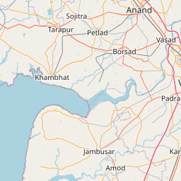
| Dholka to Khambhat | 60 km |
| Dholka to Surendranagar | 96 km |
Related Distances to Gadhada
| Cities | Distance |
|---|---|
| Botad to Gadhada | 26 km |
| Ahmedabad to Gadhada | 181 km |
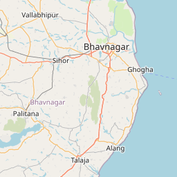
| Bhavnagar to Gadhada | 79 km |
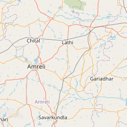
| Amreli to Gadhada | 68 km |
| Chotila to Gadhada | 94 km |