Distance from Dhrol to Kundla
Distance between Dhrol and Kundla is 164 kilometers (102 miles).
Driving distance from Dhrol to Kundla is 198 kilometers (123 miles).
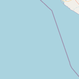
Distance Map Between Dhrol and Kundla
Dhrol, Ghandinagar, India ↔ Kundla, Ghandinagar, India = 102 miles = 164 km.


How far is it between Dhrol and Kundla
Dhrol is located in India with (22.567,70.4177) coordinates and Kundla is located in India with (21.3422,71.3063) coordinates. The calculated flying distance from Dhrol to Kundla is equal to 102 miles which is equal to 164 km.
If you want to go by car, the driving distance between Dhrol and Kundla is 198.48 km. If you ride your car with an average speed of 112 kilometers/hour (70 miles/h), travel time will be 01 hours 46 minutes. Please check the avg. speed travel time table on the right for various options.
Difference between fly and go by a car is 34 km.
| City/Place | Latitude and Longitude | GPS Coordinates |
|---|---|---|
| Dhrol | 22.567, 70.4177 | 22° 34´ 1.2000'' N 70° 25´ 3.6840'' E |
| Kundla | 21.3422, 71.3063 | 21° 20´ 31.9920'' N 71° 18´ 22.7880'' E |
Estimated Travel Time Between Dhrol and Kundla
| Average Speed | Travel Time |
|---|---|
| 30 mph (48 km/h) | 04 hours 08 minutes |
| 40 mph (64 km/h) | 03 hours 06 minutes |
| 50 mph (80 km/h) | 02 hours 28 minutes |
| 60 mph (97 km/h) | 02 hours 02 minutes |
| 70 mph (112 km/h) | 01 hours 46 minutes |
| 75 mph (120 km/h) | 01 hours 39 minutes |
Related Distances from Dhrol
| Cities | Distance |
|---|---|
| Dhrol to Jamnagar | 40 km |
| Dhrol to Morbi | 62 km |
| Dhrol to Rajkot | 53 km |
| Dhrol to Khambhaliya | 101 km |
| Dhrol to Porbandar | 158 km |
Related Distances to Kundla
| Cities | Distance |
|---|---|
| Amreli to Kundla | 32 km |
| Bhavnagar to Kundla | 117 km |
| Dhoraji to Kundla | 133 km |
| Botad to Kundla | 123 km |
| Jetpur to Kundla | 98 km |