Distance from Dhule to Erandol
Distance between Dhule and Erandol is 57 kilometers (36 miles).
Driving distance from Dhule to Erandol is 62 kilometers (39 miles).
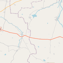
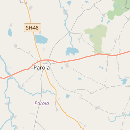
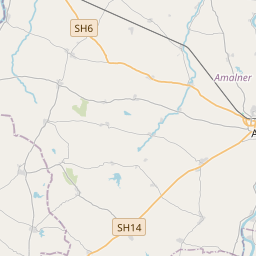
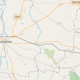
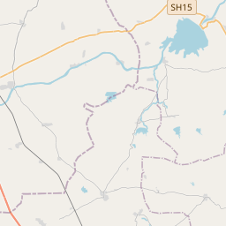
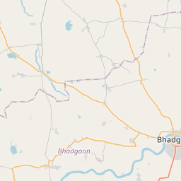
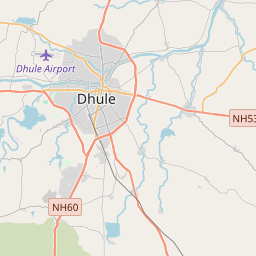
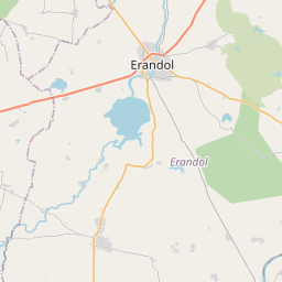
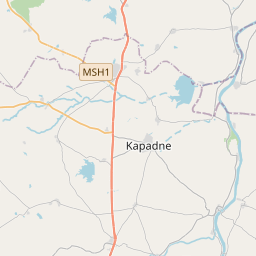
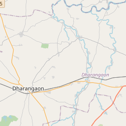
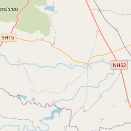
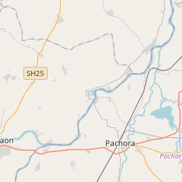
Distance Map Between Dhule and Erandol
Dhule, Mumbai, India ↔ Erandol, Mumbai, India = 36 miles = 57 km.

How far is it between Dhule and Erandol
Dhule is located in India with (20.9025,74.7774) coordinates and Erandol is located in India with (20.9246,75.3286) coordinates. The calculated flying distance from Dhule to Erandol is equal to 36 miles which is equal to 57 km.
If you want to go by car, the driving distance between Dhule and Erandol is 61.96 km. If you ride your car with an average speed of 112 kilometers/hour (70 miles/h), travel time will be 00 hours 33 minutes. Please check the avg. speed travel time table on the right for various options.
Difference between fly and go by a car is 5 km.
| City/Place | Latitude and Longitude | GPS Coordinates |
|---|---|---|
| Dhule | 20.9025, 74.7774 | 20° 54´ 9.0360'' N 74° 46´ 38.4600'' E |
| Erandol | 20.9246, 75.3286 | 20° 55´ 28.5960'' N 75° 19´ 43.0320'' E |
Estimated Travel Time Between Dhule and Erandol
| Average Speed | Travel Time |
|---|---|
| 30 mph (48 km/h) | 01 hours 17 minutes |
| 40 mph (64 km/h) | 00 hours 58 minutes |
| 50 mph (80 km/h) | 00 hours 46 minutes |
| 60 mph (97 km/h) | 00 hours 38 minutes |
| 70 mph (112 km/h) | 00 hours 33 minutes |
| 75 mph (120 km/h) | 00 hours 30 minutes |
Related Distances from Dhule
| Cities | Distance |
|---|---|
| Dhule to Shirpur | 55 km |
| Dhule to Parola | 37 km |
| Dhule to Shahada | 86 km |
| Dhule to Dondaicha | 57 km |
| Dhule to Nandgaon | 87 km |
Related Distances to Erandol
| Cities | Distance |
|---|---|
| Dhule to Erandol | 62 km |
| Chopda to Erandol | 44 km |
| Amalner to Erandol | 35 km |
| Chalisgaon to Erandol | 72 km |
| Bhusawal to Erandol | 56 km |