Distance from Disa to Gadhada
Distance between Disa and Gadhada is 262 kilometers (163 miles).
Driving distance from Disa to Gadhada is 344 kilometers (214 miles).
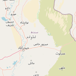
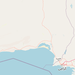
Distance Map Between Disa and Gadhada
Disa, Ghandinagar, India ↔ Gadhada, Ghandinagar, India = 163 miles = 262 km.


How far is it between Dīsa and Gadhada
Disa is located in India with (24.2561,72.1793) coordinates and Gadhada is located in India with (21.9696,71.5783) coordinates. The calculated flying distance from Disa to Gadhada is equal to 163 miles which is equal to 262 km.
If you want to go by car, the driving distance between Disa and Gadhada is 343.6 km. If you ride your car with an average speed of 112 kilometers/hour (70 miles/h), travel time will be 03 hours 04 minutes. Please check the avg. speed travel time table on the right for various options.
Difference between fly and go by a car is 82 km.
| City/Place | Latitude and Longitude | GPS Coordinates |
|---|---|---|
| Disa | 24.2561, 72.1793 | 24° 15´ 22.0320'' N 72° 10´ 45.4080'' E |
| Gadhada | 21.9696, 71.5783 | 21° 58´ 10.4520'' N 71° 34´ 41.8080'' E |
Estimated Travel Time Between Dīsa and Gadhada
| Average Speed | Travel Time |
|---|---|
| 30 mph (48 km/h) | 07 hours 09 minutes |
| 40 mph (64 km/h) | 05 hours 22 minutes |
| 50 mph (80 km/h) | 04 hours 17 minutes |
| 60 mph (97 km/h) | 03 hours 32 minutes |
| 70 mph (112 km/h) | 03 hours 04 minutes |
| 75 mph (120 km/h) | 02 hours 51 minutes |
Related Distances from Disa
| Cities | Distance |
|---|---|
| Disa to Sanand | 168 km |
| Disa to Mundra | 337 km |
| Disa to Tharad | 62 km |
| Disa to Surat | 429 km |
| Disa to Modasa | 199 km |
Related Distances to Gadhada
| Cities | Distance |
|---|---|
| Botad to Gadhada | 26 km |
| Ahmedabad to Gadhada | 181 km |
| Bhavnagar to Gadhada | 79 km |
| Amreli to Gadhada | 68 km |
| Chotila to Gadhada | 94 km |