Distance from Disa to Keshod
Distance between Disa and Keshod is 383 kilometers (238 miles).
Driving distance from Disa to Keshod is 507 kilometers (315 miles).
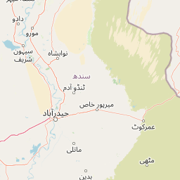
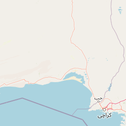
Distance Map Between Disa and Keshod
Disa, Ghandinagar, India ↔ Keshod, Ghandinagar, India = 238 miles = 383 km.


How far is it between Dīsa and Keshod
Disa is located in India with (24.2561,72.1793) coordinates and Keshod is located in India with (21.3033,70.2486) coordinates. The calculated flying distance from Disa to Keshod is equal to 238 miles which is equal to 383 km.
If you want to go by car, the driving distance between Disa and Keshod is 507.28 km. If you ride your car with an average speed of 112 kilometers/hour (70 miles/h), travel time will be 04 hours 31 minutes. Please check the avg. speed travel time table on the right for various options.
Difference between fly and go by a car is 124 km.
| City/Place | Latitude and Longitude | GPS Coordinates |
|---|---|---|
| Disa | 24.2561, 72.1793 | 24° 15´ 22.0320'' N 72° 10´ 45.4080'' E |
| Keshod | 21.3033, 70.2486 | 21° 18´ 11.8080'' N 70° 14´ 54.9960'' E |
Estimated Travel Time Between Dīsa and Keshod
| Average Speed | Travel Time |
|---|---|
| 30 mph (48 km/h) | 10 hours 34 minutes |
| 40 mph (64 km/h) | 07 hours 55 minutes |
| 50 mph (80 km/h) | 06 hours 20 minutes |
| 60 mph (97 km/h) | 05 hours 13 minutes |
| 70 mph (112 km/h) | 04 hours 31 minutes |
| 75 mph (120 km/h) | 04 hours 13 minutes |
Related Distances from Disa
| Cities | Distance |
|---|---|
| Disa to Sanand | 168 km |
| Disa to Mundra | 337 km |
| Disa to Tharad | 62 km |
| Disa to Surat | 429 km |
| Disa to Modasa | 199 km |
Related Distances to Keshod
| Cities | Distance |
|---|---|
| Junagadh to Keshod | 37 km |
| Ahmedabad to Keshod | 356 km |
| Dwarka to Keshod | 200 km |
| Jetpur to Keshod | 70 km |
| Jamnagar to Keshod | 173 km |