Distance from Djelfa to El Tarf
Distance between Djelfa and El Tarf is 512 kilometers (318 miles).
Driving distance from Djelfa to El Tarf is 628 kilometers (390 miles).
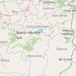
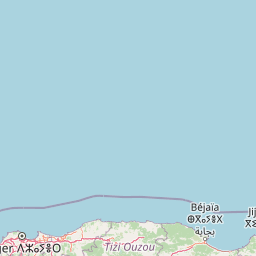
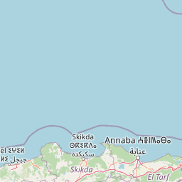
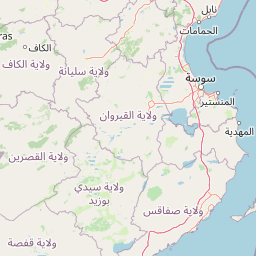
Distance Map Between Djelfa and El Tarf
Djelfa, Algeria ↔ El Tarf, Algeria = 318 miles = 512 km.


How far is it between Djelfa and El Tarf
Djelfa is located in Algeria with (34.6728,3.263) coordinates and El Tarf is located in Algeria with (36.7672,8.3138) coordinates. The calculated flying distance from Djelfa to El Tarf is equal to 318 miles which is equal to 512 km.
If you want to go by car, the driving distance between Djelfa and El Tarf is 628.04 km. If you ride your car with an average speed of 112 kilometers/hour (70 miles/h), travel time will be 05 hours 36 minutes. Please check the avg. speed travel time table on the right for various options.
Difference between fly and go by a car is 116 km.
| City/Place | Latitude and Longitude | GPS Coordinates |
|---|---|---|
| Djelfa | 34.6728, 3.263 | 34° 40´ 22.0440'' N 3° 15´ 46.8000'' E |
| El Tarf | 36.7672, 8.3138 | 36° 46´ 1.9200'' N 8° 18´ 49.5720'' E |
Estimated Travel Time Between Djelfa and El Tarf
| Average Speed | Travel Time |
|---|---|
| 30 mph (48 km/h) | 13 hours 05 minutes |
| 40 mph (64 km/h) | 09 hours 48 minutes |
| 50 mph (80 km/h) | 07 hours 51 minutes |
| 60 mph (97 km/h) | 06 hours 28 minutes |
| 70 mph (112 km/h) | 05 hours 36 minutes |
| 75 mph (120 km/h) | 05 hours 14 minutes |
Related Distances from Djelfa
| Cities | Distance |
|---|---|
| Djelfa to Boumerdas | 331 km |
| Djelfa to Chlef | 312 km |
| Djelfa to El Bayadh | 305 km |
| Djelfa to El Oued | 485 km |
| Djelfa to El Tarf | 628 km |
| Djelfa to Ghardaia | 302 km |
| Djelfa to Guelma | 550 km |
| Djelfa to I N Salah | 967 km |
| Djelfa to Jijel | 448 km |
| Djelfa to Khenchela | 421 km |
Related Distances to El Tarf
| Cities | Distance |
|---|---|
| Annaba to El Tarf | 64 km |
| Constantine to El Tarf | 202 km |
| El Oued to El Tarf | 518 km |
| Bordj Bou Arreridj to El Tarf | 422 km |
| Blida to El Tarf | 648 km |
| Bejaia to El Tarf | 471 km |
| Chlef to El Tarf | 794 km |
| Batna to El Tarf | 302 km |
| Ain Temouchent to El Tarf | 1058 km |
| Algiers to El Tarf | 590 km |