Distance from Dour to Herstal
Distance between Dour and Herstal is 134 kilometers (83 miles).
Driving distance from Dour to Herstal is 155 kilometers (96 miles).
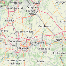
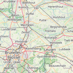
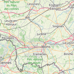
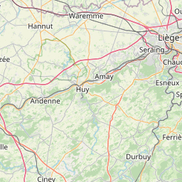
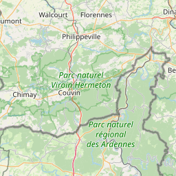
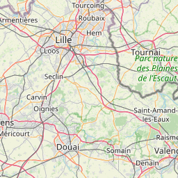
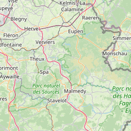
Distance Map Between Dour and Herstal
Dour, Namur, Belgium ↔ Herstal, Namur, Belgium = 83 miles = 134 km.


How far is it between Dour and Herstal
Dour is located in Belgium with (50.3958,3.7779) coordinates and Herstal is located in Belgium with (50.6642,5.6235) coordinates. The calculated flying distance from Dour to Herstal is equal to 83 miles which is equal to 134 km.
If you want to go by car, the driving distance between Dour and Herstal is 155.3 km. If you ride your car with an average speed of 112 kilometers/hour (70 miles/h), travel time will be 01 hours 23 minutes. Please check the avg. speed travel time table on the right for various options.
Difference between fly and go by a car is 21 km.
| City/Place | Latitude and Longitude | GPS Coordinates |
|---|---|---|
| Dour | 50.3958, 3.7779 | 50° 23´ 44.9880'' N 3° 46´ 40.5120'' E |
| Herstal | 50.6642, 5.6235 | 50° 39´ 50.9400'' N 5° 37´ 24.4560'' E |
Estimated Travel Time Between Dour and Herstal
| Average Speed | Travel Time |
|---|---|
| 30 mph (48 km/h) | 03 hours 14 minutes |
| 40 mph (64 km/h) | 02 hours 25 minutes |
| 50 mph (80 km/h) | 01 hours 56 minutes |
| 60 mph (97 km/h) | 01 hours 36 minutes |
| 70 mph (112 km/h) | 01 hours 23 minutes |
| 75 mph (120 km/h) | 01 hours 17 minutes |
Related Distances from Dour
| Cities | Distance |
|---|---|
| Dour to Louvain La Neuve | 83 km |
| Dour to Mouscron | 70 km |
| Dour to Huy | 123 km |
| Dour to Liege | 150 km |
| Dour to Nivelles | 58 km |
Related Distances to Herstal
| Cities | Distance |
|---|---|
| Courcelles to Herstal | 103 km |
| Charleroi to Herstal | 104 km |
| Andenne to Herstal | 54 km |
| Braine L Alleud to Herstal | 119 km |
| Fleron to Herstal | 11 km |