Distance from Downey to Corona
Distance between Downey and Corona is 53 kilometers (33 miles).
Driving distance from Downey to Corona is 63 kilometers (39 miles).
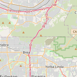
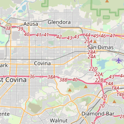
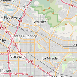
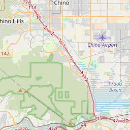
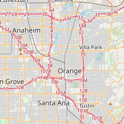
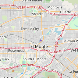
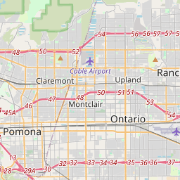
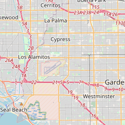
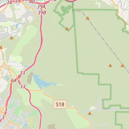
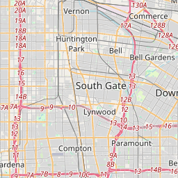
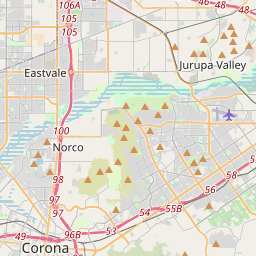
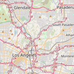
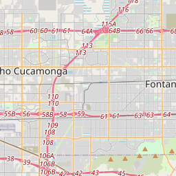
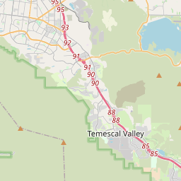
Distance Map Between Downey and Corona
Downey, Sacramento, United States ↔ Corona, Sacramento, United States = 33 miles = 53 km.

How far is it between Downey and Corona
Downey is located in United States with (33.94,-118.1326) coordinates and Corona is located in United States with (33.8753,-117.5664) coordinates. The calculated flying distance from Downey to Corona is equal to 33 miles which is equal to 53 km.
If you want to go by car, the driving distance between Downey and Corona is 62.74 km. If you ride your car with an average speed of 112 kilometers/hour (70 miles/h), travel time will be 00 hours 33 minutes. Please check the avg. speed travel time table on the right for various options.
Difference between fly and go by a car is 10 km.
| City/Place | Latitude and Longitude | GPS Coordinates |
|---|---|---|
| Downey | 33.94, -118.1326 | 33° 56´ 24.0360'' N 118° 7´ 57.2520'' W |
| Corona | 33.8753, -117.5664 | 33° 52´ 31.0440'' N 117° 33´ 59.1840'' W |
Estimated Travel Time Between Downey and Corona
| Average Speed | Travel Time |
|---|---|
| 30 mph (48 km/h) | 01 hours 18 minutes |
| 40 mph (64 km/h) | 00 hours 58 minutes |
| 50 mph (80 km/h) | 00 hours 47 minutes |
| 60 mph (97 km/h) | 00 hours 38 minutes |
| 70 mph (112 km/h) | 00 hours 33 minutes |
| 75 mph (120 km/h) | 00 hours 31 minutes |
Related Distances from Downey
| Cities | Distance |
|---|---|
| Downey to Anaheim | 29 km |
| Downey to Baldwin Park | 28 km |
| Downey to Arcadia | 41 km |
| Downey to Chino Hills | 47 km |
| Downey to Bellflower | 7 km |
Related Distances to Corona
| Cities | Distance |
|---|---|
| Los Angeles to Corona | 76 km |
| San Diego to Corona | 157 km |
| Long Beach to Corona | 75 km |
| Irvine to Corona | 49 km |
| Temecula to Corona | 62 km |