Distance from Dubbo to Lismore
Distance between Dubbo and Lismore is 588 kilometers (365 miles).
Driving distance from Dubbo to Lismore is 767 kilometers (477 miles).
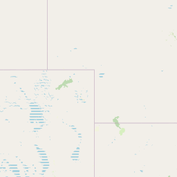
Distance Map Between Dubbo and Lismore
Dubbo, Sydney, Australia ↔ Lismore, Sydney, Australia = 365 miles = 588 km.

How far is it between Dubbo and Lismore
Dubbo is located in Australia with (-32.243,148.6048) coordinates and Lismore is located in Australia with (-28.8135,153.2773) coordinates. The calculated flying distance from Dubbo to Lismore is equal to 365 miles which is equal to 588 km.
If you want to go by car, the driving distance between Dubbo and Lismore is 767.46 km. If you ride your car with an average speed of 112 kilometers/hour (70 miles/h), travel time will be 06 hours 51 minutes. Please check the avg. speed travel time table on the right for various options.
Difference between fly and go by a car is 179 km.
| City/Place | Latitude and Longitude | GPS Coordinates |
|---|---|---|
| Dubbo | -32.243, 148.6048 | 32° 14´ 34.6200'' S 148° 36´ 17.4240'' E |
| Lismore | -28.8135, 153.2773 | 28° 48´ 48.7440'' S 153° 16´ 38.2800'' E |
Estimated Travel Time Between Dubbo and Lismore
| Average Speed | Travel Time |
|---|---|
| 30 mph (48 km/h) | 15 hours 59 minutes |
| 40 mph (64 km/h) | 11 hours 59 minutes |
| 50 mph (80 km/h) | 09 hours 35 minutes |
| 60 mph (97 km/h) | 07 hours 54 minutes |
| 70 mph (112 km/h) | 06 hours 51 minutes |
| 75 mph (120 km/h) | 06 hours 23 minutes |
Related Distances from Dubbo
| Cities | Distance |
|---|---|
| Dubbo to Orange 2 | 151 km |
| Dubbo to Tamworth 2 | 312 km |
| Dubbo to Griffith 2 | 410 km |
| Dubbo to Wagga Wagga | 403 km |
| Dubbo to Newcastle 2 | 380 km |
Related Distances to Lismore
| Cities | Distance |
|---|---|
| Coffs Harbour to Lismore | 207 km |
| Armidale to Lismore | 322 km |
| Dubbo to Lismore | 767 km |
| Wollongong to Lismore | 844 km |
| Griffith 2 to Lismore | 1142 km |