Distance from Dublin to Wrexham
Distance between Dublin and Wrexham is 219 kilometers (136 miles).
Driving distance from Dublin to Wrexham is 265 kilometers (165 miles).
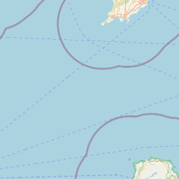
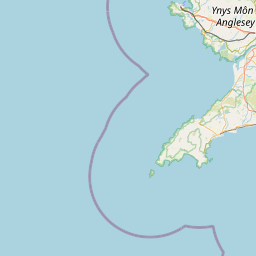
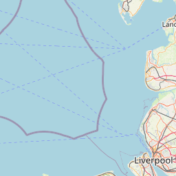
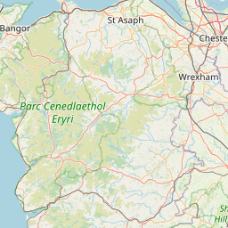
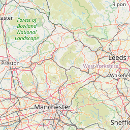
Distance Map Between Dublin and Wrexham
Dublin, Swords, Ireland ↔ Wrexham, Cardiff, United Kingdom = 136 miles = 219 km.


How far is it between Dublin and Wrexham
Dublin is located in Ireland with (53.3331,-6.2489) coordinates and Wrexham is located in United Kingdom with (53.0466,-2.9913) coordinates. The calculated flying distance from Dublin to Wrexham is equal to 136 miles which is equal to 219 km.
If you want to go by car, the driving distance between Dublin and Wrexham is 265.01 km. If you ride your car with an average speed of 112 kilometers/hour (70 miles/h), travel time will be 02 hours 21 minutes. Please check the avg. speed travel time table on the right for various options.
Difference between fly and go by a car is 46 km.
| City/Place | Latitude and Longitude | GPS Coordinates |
|---|---|---|
| Dublin | 53.3331, -6.2489 | 53° 19´ 59.0160'' N 6° 14´ 56.0040'' W |
| Wrexham | 53.0466, -2.9913 | 53° 2´ 47.9040'' N 2° 59´ 28.7520'' W |
Estimated Travel Time Between Dublin and Wrexham
| Average Speed | Travel Time |
|---|---|
| 30 mph (48 km/h) | 05 hours 31 minutes |
| 40 mph (64 km/h) | 04 hours 08 minutes |
| 50 mph (80 km/h) | 03 hours 18 minutes |
| 60 mph (97 km/h) | 02 hours 43 minutes |
| 70 mph (112 km/h) | 02 hours 21 minutes |
| 75 mph (120 km/h) | 02 hours 12 minutes |
Related Distances from Dublin
| Cities | Distance |
|---|---|
| Dublin to Belfast | 169 km |
| Dublin to London | 597 km |
| Dublin to Liverpool | 280 km |
| Dublin to Derry | 238 km |
| Dublin to Manchester | 312 km |