Distance from Dushanbe to Tashtagol
Distance between Dushanbe and Tashtagol is 2157 kilometers (1340 miles).
Driving distance from Dushanbe to Tashtagol is 3342 kilometers (2077 miles).
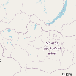
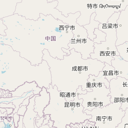
Distance Map Between Dushanbe and Tashtagol
Dushanbe, Tajikistan ↔ Tashtagol, Kemerovo, Russia = 1340 miles = 2157 km.


How far is it between Dushanbe and Tashtagol
Dushanbe is located in Tajikistan with (38.5358,68.7791) coordinates and Tashtagol is located in Russia with (52.7657,87.8894) coordinates. The calculated flying distance from Dushanbe to Tashtagol is equal to 1340 miles which is equal to 2157 km.
If you want to go by car, the driving distance between Dushanbe and Tashtagol is 3341.82 km. If you ride your car with an average speed of 112 kilometers/hour (70 miles/h), travel time will be 29 hours 50 minutes. Please check the avg. speed travel time table on the right for various options.
Difference between fly and go by a car is 1185 km.
| City/Place | Latitude and Longitude | GPS Coordinates |
|---|---|---|
| Dushanbe | 38.5358, 68.7791 | 38° 32´ 8.7000'' N 68° 46´ 44.5800'' E |
| Tashtagol | 52.7657, 87.8894 | 52° 45´ 56.5200'' N 87° 53´ 21.8400'' E |
Estimated Travel Time Between Dushanbe and Tashtagol
| Average Speed | Travel Time |
|---|---|
| 30 mph (48 km/h) | 69 hours 37 minutes |
| 40 mph (64 km/h) | 52 hours 12 minutes |
| 50 mph (80 km/h) | 41 hours 46 minutes |
| 60 mph (97 km/h) | 34 hours 27 minutes |
| 70 mph (112 km/h) | 29 hours 50 minutes |
| 75 mph (120 km/h) | 27 hours 50 minutes |
Related Distances from Dushanbe
| Cities | Distance |
|---|---|
| Dushanbe to Chapayevsk | 2797 km |
| Dushanbe to Gay | 2173 km |
| Dushanbe to Samara | 2820 km |
| Dushanbe to Gorno Altaysk | 3152 km |
| Dushanbe to Sol Iletsk | 2294 km |