Distance from Easthampton to Agawam
Distance between Easthampton and Agawam is 22 kilometers (14 miles).
Driving distance from Easthampton to Agawam is 30 kilometers (19 miles).
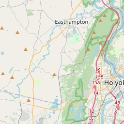
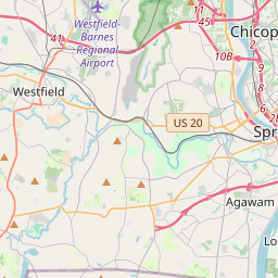
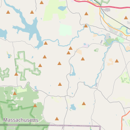
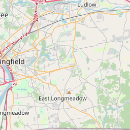
Distance Map Between Easthampton and Agawam
Easthampton, Boston, United States ↔ Agawam, Boston, United States = 14 miles = 22 km.


How far is it between Easthampton and Agawam
Easthampton is located in United States with (42.2668,-72.669) coordinates and Agawam is located in United States with (42.0695,-72.6148) coordinates. The calculated flying distance from Easthampton to Agawam is equal to 14 miles which is equal to 22 km.
If you want to go by car, the driving distance between Easthampton and Agawam is 29.8 km. If you ride your car with an average speed of 112 kilometers/hour (70 miles/h), travel time will be 00 hours 15 minutes. Please check the avg. speed travel time table on the right for various options.
Difference between fly and go by a car is 8 km.
| City/Place | Latitude and Longitude | GPS Coordinates |
|---|---|---|
| Easthampton | 42.2668, -72.669 | 42° 16´ 0.3360'' N 72° 40´ 8.3280'' W |
| Agawam | 42.0695, -72.6148 | 42° 4´ 10.3440'' N 72° 36´ 53.3160'' W |
Estimated Travel Time Between Easthampton and Agawam
| Average Speed | Travel Time |
|---|---|
| 30 mph (48 km/h) | 00 hours 37 minutes |
| 40 mph (64 km/h) | 00 hours 27 minutes |
| 50 mph (80 km/h) | 00 hours 22 minutes |
| 60 mph (97 km/h) | 00 hours 18 minutes |
| 70 mph (112 km/h) | 00 hours 15 minutes |
| 75 mph (120 km/h) | 00 hours 14 minutes |
Related Distances from Easthampton
| Cities | Distance |
|---|---|
| Easthampton to Amherst Center | 21 km |
| Easthampton to Chicopee | 22 km |
| Easthampton to Danvers | 190 km |
| Easthampton to Brockton | 183 km |
| Easthampton to Braintree 2 | 174 km |
Related Distances to Agawam
| Cities | Distance |
|---|---|
| South Boston to Agawam | 153 km |
| Springfield 2 to Agawam | 6 km |
| Franklin 3 to Agawam | 132 km |
| West Springfield to Agawam | 5 km |
| Northampton 2 to Agawam | 37 km |