Distance from Ede to Epe
Distance between Ede and Epe is 41 kilometers (26 miles).
Driving distance from Ede to Epe is 62 kilometers (39 miles).
Distance Map Between Ede and Epe
Ede, Arnhem, Netherlands ↔ Epe, Arnhem, Netherlands = 26 miles = 41 km.


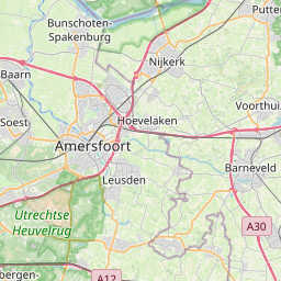


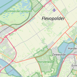

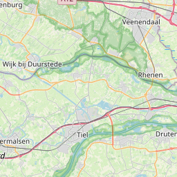

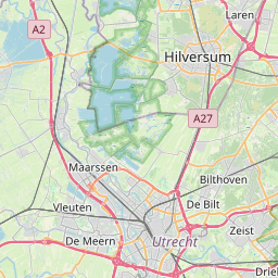

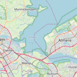


Leaflet | © OpenStreetMap
How far is it between Ede and Epe
Ede is located in Netherlands with (52.0333,5.6583) coordinates and Epe is located in Netherlands with (52.3475,5.9833) coordinates. The calculated flying distance from Ede to Epe is equal to 26 miles which is equal to 41 km.
If you want to go by car, the driving distance between Ede and Epe is 62.28 km. If you ride your car with an average speed of 112 kilometers/hour (70 miles/h), travel time will be 00 hours 33 minutes. Please check the avg. speed travel time table on the right for various options.
Difference between fly and go by a car is 21 km.
| City/Place | Latitude and Longitude | GPS Coordinates |
|---|---|---|
| Ede | 52.0333, 5.6583 | 52° 1´ 59.9880'' N 5° 39´ 29.9880'' E |
| Epe | 52.3475, 5.9833 | 52° 20´ 51.0000'' N 5° 58´ 59.9880'' E |
Estimated Travel Time Between Ede and Epe
| Average Speed | Travel Time |
|---|---|
| 30 mph (48 km/h) | 01 hours 17 minutes |
| 40 mph (64 km/h) | 00 hours 58 minutes |
| 50 mph (80 km/h) | 00 hours 46 minutes |
| 60 mph (97 km/h) | 00 hours 38 minutes |
| 70 mph (112 km/h) | 00 hours 33 minutes |
| 75 mph (120 km/h) | 00 hours 31 minutes |
Ede, Arnhem, Netherlands
Related Distances from Ede
| Cities | Distance |
|---|---|
| Ede to Wageningen | 10 km |
| Ede to Velp | 30 km |
| Ede to Nijmegen | 45 km |
| Ede to Amersfoort | 35 km |
| Ede to Epe 2 | 62 km |
Epe, Arnhem, Netherlands
Related Distances to Epe
| Cities | Distance |
|---|---|
| Ede to Epe 2 | 62 km |
| Barneveld to Epe 2 | 59 km |
| Apeldoorn to Epe 2 | 21 km |
| Duiven to Epe 2 | 56 km |
| Doetinchem to Epe 2 | 75 km |