Distance from El Oued to El Tarf
Distance between El Oued and El Tarf is 402 kilometers (250 miles).
Driving distance from El Oued to El Tarf is 518 kilometers (322 miles).
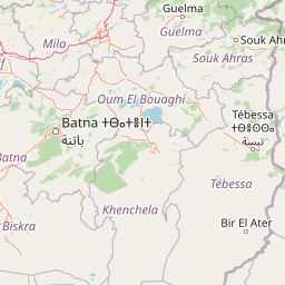
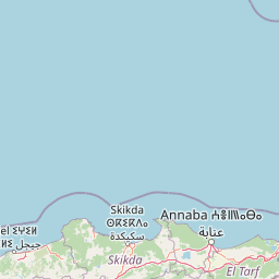
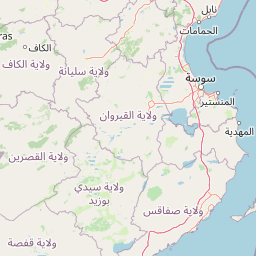
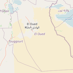
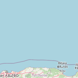
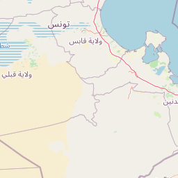
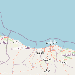
Distance Map Between El Oued and El Tarf
El Oued, Algeria ↔ El Tarf, Algeria = 250 miles = 402 km.


How far is it between El Oued and El Tarf
El Oued is located in Algeria with (33.3561,6.8632) coordinates and El Tarf is located in Algeria with (36.7672,8.3138) coordinates. The calculated flying distance from El Oued to El Tarf is equal to 250 miles which is equal to 402 km.
If you want to go by car, the driving distance between El Oued and El Tarf is 517.69 km. If you ride your car with an average speed of 112 kilometers/hour (70 miles/h), travel time will be 04 hours 37 minutes. Please check the avg. speed travel time table on the right for various options.
Difference between fly and go by a car is 116 km.
| City/Place | Latitude and Longitude | GPS Coordinates |
|---|---|---|
| El Oued | 33.3561, 6.8632 | 33° 21´ 21.8880'' N 6° 51´ 47.4840'' E |
| El Tarf | 36.7672, 8.3138 | 36° 46´ 1.9200'' N 8° 18´ 49.5720'' E |
Estimated Travel Time Between El Oued and El Tarf
| Average Speed | Travel Time |
|---|---|
| 30 mph (48 km/h) | 10 hours 47 minutes |
| 40 mph (64 km/h) | 08 hours 05 minutes |
| 50 mph (80 km/h) | 06 hours 28 minutes |
| 60 mph (97 km/h) | 05 hours 20 minutes |
| 70 mph (112 km/h) | 04 hours 37 minutes |
| 75 mph (120 km/h) | 04 hours 18 minutes |
Related Distances from El Oued
| Cities | Distance |
|---|---|
| El Oued to Ghardaia | 423 km |
| El Oued to Tizi Ouzou | 581 km |
| El Oued to Tamanrasset | 1749 km |
| El Oued to Tebessa | 313 km |
| El Oued to Ouargla | 262 km |
Related Distances to El Tarf
| Cities | Distance |
|---|---|
| Constantine to El Tarf | 202 km |
| Annaba to El Tarf | 64 km |
| Batna to El Tarf | 302 km |
| Algiers to El Tarf | 590 km |
| Blida to El Tarf | 648 km |