Distance from El Paso to Midland
Distance between El Paso and Midland is 417 kilometers (259 miles).
Driving distance from El Paso to Midland is 492 kilometers (306 miles).
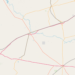
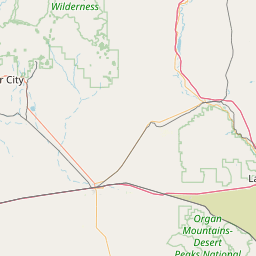
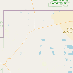
Distance Map Between El Paso and Midland
El Paso, Austin, United States ↔ Midland, Austin, United States = 259 miles = 417 km.
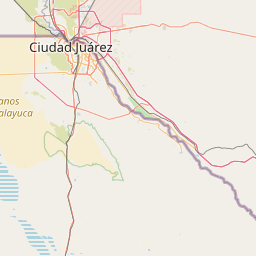


How far is it between El Paso and Midland
El Paso is located in United States with (31.7587,-106.4869) coordinates and Midland is located in United States with (31.9974,-102.0779) coordinates. The calculated flying distance from El Paso to Midland is equal to 259 miles which is equal to 417 km.
If you want to go by car, the driving distance between El Paso and Midland is 491.72 km. If you ride your car with an average speed of 112 kilometers/hour (70 miles/h), travel time will be 04 hours 23 minutes. Please check the avg. speed travel time table on the right for various options.
Difference between fly and go by a car is 75 km.
| City/Place | Latitude and Longitude | GPS Coordinates |
|---|---|---|
| El Paso | 31.7587, -106.4869 | 31° 45´ 31.3920'' N 106° 29´ 12.9480'' W |
| Midland | 31.9974, -102.0779 | 31° 59´ 50.4600'' N 102° 4´ 40.4760'' W |
Estimated Travel Time Between El Paso and Midland
| Average Speed | Travel Time |
|---|---|
| 30 mph (48 km/h) | 10 hours 14 minutes |
| 40 mph (64 km/h) | 07 hours 40 minutes |
| 50 mph (80 km/h) | 06 hours 08 minutes |
| 60 mph (97 km/h) | 05 hours 04 minutes |
| 70 mph (112 km/h) | 04 hours 23 minutes |
| 75 mph (120 km/h) | 04 hours 05 minutes |
Related Distances from El Paso
| Cities | Distance |
|---|---|
| El Paso to Houston | 1201 km |
| El Paso to San Antonio | 887 km |
| El Paso to Dallas | 1022 km |
| El Paso to Amarillo | 704 km |
| El Paso to Orange 5 | 1380 km |
Related Distances to Midland
| Cities | Distance |
|---|---|
| Odessa 2 to Midland | 32 km |
| San Angelo to Midland | 180 km |
| Dallas to Midland 3 | 2391 km |
| Fort Worth to Midland 3 | 2444 km |
| El Paso to Midland | 492 km |