Distance from El Tarf to Boumerdas
Distance between El Tarf and Boumerdas is 431 kilometers (268 miles).
Driving distance from El Tarf to Boumerdas is 561 kilometers (349 miles).
Distance Map Between El Tarf and Boumerdas
El Tarf, Algeria ↔ Boumerdas, Algeria = 268 miles = 431 km.


How far is it between El Tarf and Boumerdas
El Tarf is located in Algeria with (36.7672,8.3138) coordinates and Boumerdas is located in Algeria with (36.7664,3.4772) coordinates. The calculated flying distance from El Tarf to Boumerdas is equal to 268 miles which is equal to 431 km.
If you want to go by car, the driving distance between El Tarf and Boumerdas is 561.3 km. If you ride your car with an average speed of 112 kilometers/hour (70 miles/h), travel time will be 05 hours 00 minutes. Please check the avg. speed travel time table on the right for various options.
Difference between fly and go by a car is 130 km.
| City/Place | Latitude and Longitude | GPS Coordinates |
|---|---|---|
| El Tarf | 36.7672, 8.3138 | 36° 46´ 1.9200'' N 8° 18´ 49.5720'' E |
| Boumerdas | 36.7664, 3.4772 | 36° 45´ 59.0040'' N 3° 28´ 37.8120'' E |
Estimated Travel Time Between El Tarf and Boumerdas
| Average Speed | Travel Time |
|---|---|
| 30 mph (48 km/h) | 11 hours 41 minutes |
| 40 mph (64 km/h) | 08 hours 46 minutes |
| 50 mph (80 km/h) | 07 hours 00 minutes |
| 60 mph (97 km/h) | 05 hours 47 minutes |
| 70 mph (112 km/h) | 05 hours 00 minutes |
| 75 mph (120 km/h) | 04 hours 40 minutes |
Related Distances from El Tarf
| Cities | Distance |
|---|---|
| El Tarf to Skikda | 169 km |
| El Tarf to Saida | 1028 km |
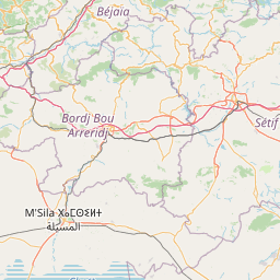
| El Tarf to M Sila | 451 km |
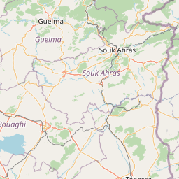
| El Tarf to Souk Ahras | 83 km |
| El Tarf to Mila | 232 km |
Related Distances to Boumerdas
| Cities | Distance |
|---|---|
| Algiers to Boumerdas | 45 km |
| Annaba to Boumerdas | 525 km |
| Oran to Boumerdas | 451 km |
| Ain Temouchent to Boumerdas | 520 km |
| Bordj Bou Arreridj to Boumerdas | 170 km |